I added the Sentinel-1 RTC layer from the Living Atlas to a web map, and tried applying a date filter. Nothing was displayed, and I thought that perhaps the service only contained the most recent data rather than the full time series.
I then discovered that if I zoom in far enough, imagery is displayed that meets the AcquisitionDate filter criteria. It seems to become available at a very specific zoom layer:
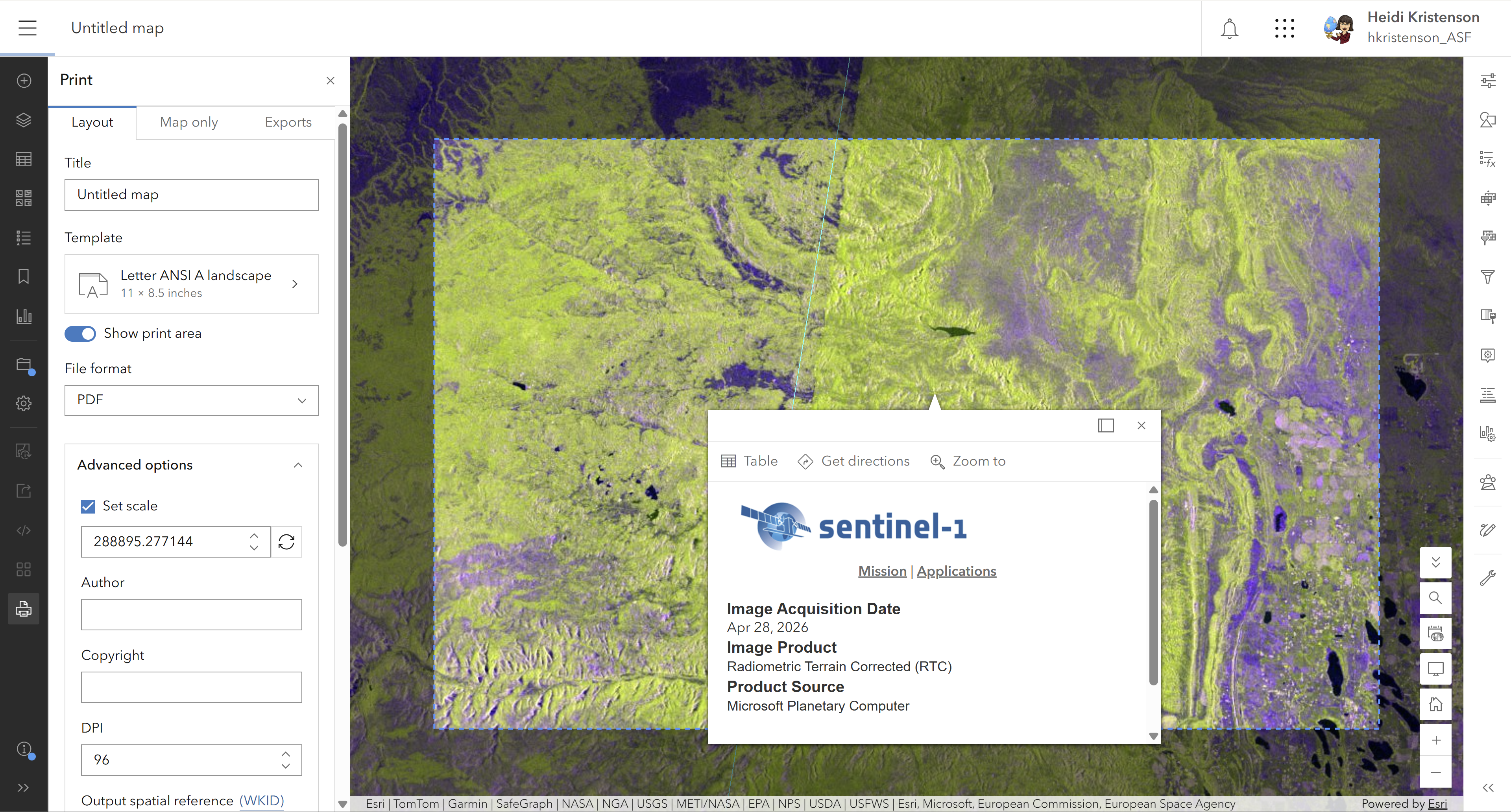
When zoomed out one level further, nothing renders, and there's no indication that data is available.
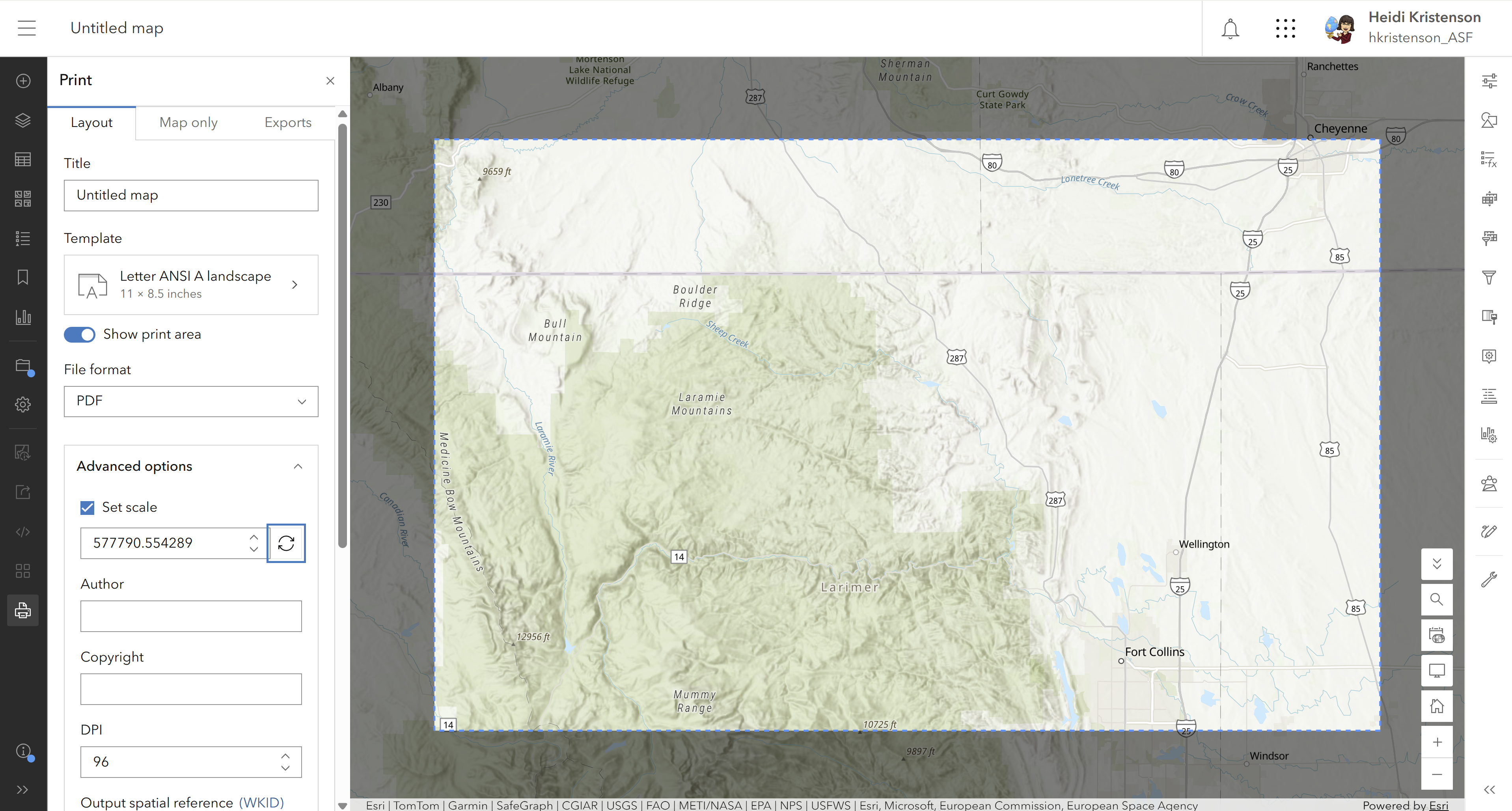
Is there a setting I'm missing that would allow me to see where data exists for my date criteria over larger areas?
Thanks,
Heidi
