Hi,
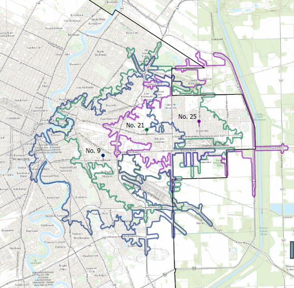
I am using Pro 3.6.0 and I am trying to build a network dataset from 2 shapefiles (existing and proposed roads) in order to perform a service area. I am missing a step somewhere or I have not done something properly. Below is what I received when running the service area with my network dataset as well as what it looks like using Esri's default network dataset.
Steps that I have done:
Cleaned up the tables and then merged
Used topology to locate dangles
Used integrate and snap to fix vertices
When setting up the cost attributes I changed connectivity from end point to any vertices
I feel I am close and now am wondering if I set up cost attributes incorrectly.
Thank you for your help.
My dataset
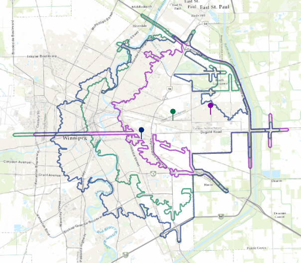
Esri dataset