Hi there,
I just generated a 15km long approach surface using the customise json tool:
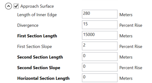
and it is short by approximately 3.5 meters.
The blue line is the extent generated by the ArcGIS Airports GP tool:
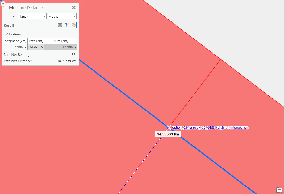
The red area is from a dwg generated using an alternative CAD based method:
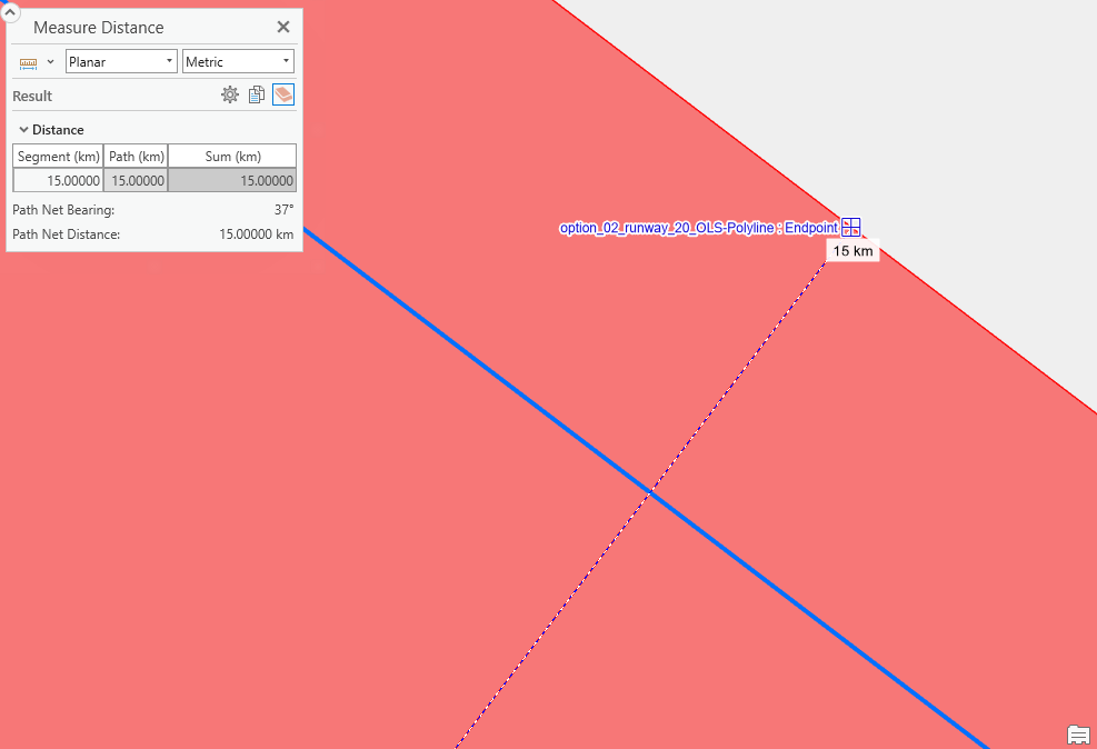
All Data is projected in NZTM/NZVD2016, both in ArcGIS Pro and in the input CAD dataset. The measurements are made in ArcGIS Pro 3.3.5 and all scenes/maps are also in the same coordinate system.
Any ideas what could be causing this difference?
Thanks,
Marc