Hello GIS friends whereever you are !
I have an issue with this DWG file that tells me it is in
NAD_1983_StatePlane_Colorado_Central_FIPS_0502_Feet however, it is showing up in
North Iowa .
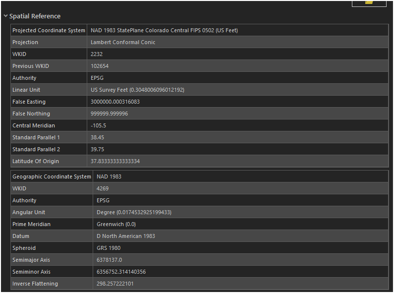
How can I change this projection back to NAD 1983 UTM Zone 13N (26913)
What is the procedure for this since the State is actually in feets and our projection is in meters ?
Thanks




