Hello,
I'm creating a QuickCapture for the use of collecting shoreline oiling data during an oil spill. Part of that is having a trackline that runs throughout the day (to replace having to use a Garmin and downloading .gpx data). So that is always running, while I have different categories of shoreline oiling in an exclusion group. It's cool, everything runs fine, except I don't understand some data accuracy issues I have.
For reference, at the moment "trackline" is just a domain value in my Oiling Character feature, so this is happening in the same feature.
What I'm seeing is that I don't have an accurate overlay (photos attached).
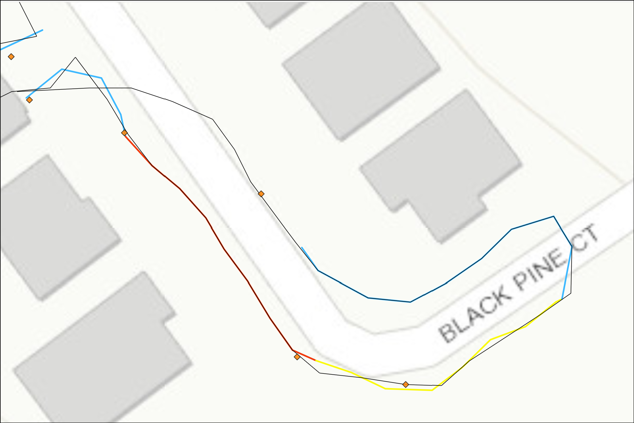
The black line is hte track, and the other colors are different oiling characters (No oil, Fresh Oil, Tarballs, etc) along with the diamonds being photos. You can see where I make turns, that the lines aren't coincident, which is very confusing since they are all in the same feature. At first I thought it was jsut the transition between oiling characteristics, but the yellow is all over the place and not matched at all with the trackline.
