I am trying to understand the "why". To test the parcel fabric creation process, I did one city from our county. I used polygons to build the fabric in 3.4 and went through all the steps. We did not have fabric in ArcMap.
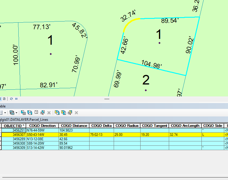
Here is an example of the problem. In ArcMap, there is this curve, that appears to be a correct real curve.
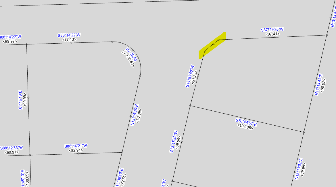
When it is built in Pro for the parcel fabric, the curve is gone and the north and west lines are altered as well. However, you can see the neighboring parcel did retain the curve.
We want to clean up our data in ArcMap to make the smoothest transition possible to fabric. What am I missing? Why was this curve missed?





