I didn’t start out in GIS—or even in science. I started as a storyteller.
For most of my early career, I worked in marketing and communications. I traveled to over a dozen countries, created content, and helped teams connect across languages and cultural barriers. I told stories with the intent to inspire, educate, and connect people. And for a long time, I loved the work.
 Flying drones for aerial photography and videography in Guatemala.
 Trekking through agricultural fields in Costa Rica in pursuit of the best shot.
But eventually, something shifted. I asked myself a hard question: Was I making the impact I wanted? The stories were interesting, but they often ended when the campaign did. I wanted more. I wanted something lasting and meaningful. That realization led me back to the classroom. I enrolled in a Master of Public Administration (MPA) program, thinking I might pivot into nonprofit or public sector work and use my skills to support worthy causes. It was a big step into the unknown, but I was ready for a change.
A Small Class Leads to a Big Pivot
As part of my MPA coursework, I signed up for an Introduction to Geographic Information Systems (GIS) class. I didn’t know it, but that one elective would completely reroute my professional journey. GIS was nothing like I expected, but it seemed like what I had been looking for. I saw that maps were dynamic tools for understanding the world. Data came alive through spatial relationships. It was immediately clear that geography could blend storytelling, science, history, and culture into a single, powerful narrative. I was hooked.
That one course opened a door I didn’t know existed. I transferred into the geography program, dove headfirst into GIS, and never looked back. My coursework led me to explore using geospatial tools to study identity, culture, and place. I even published a paper examining how people express regional pride. In GIS, I found my new language. A way to tell stories with maps, data, and meaning.
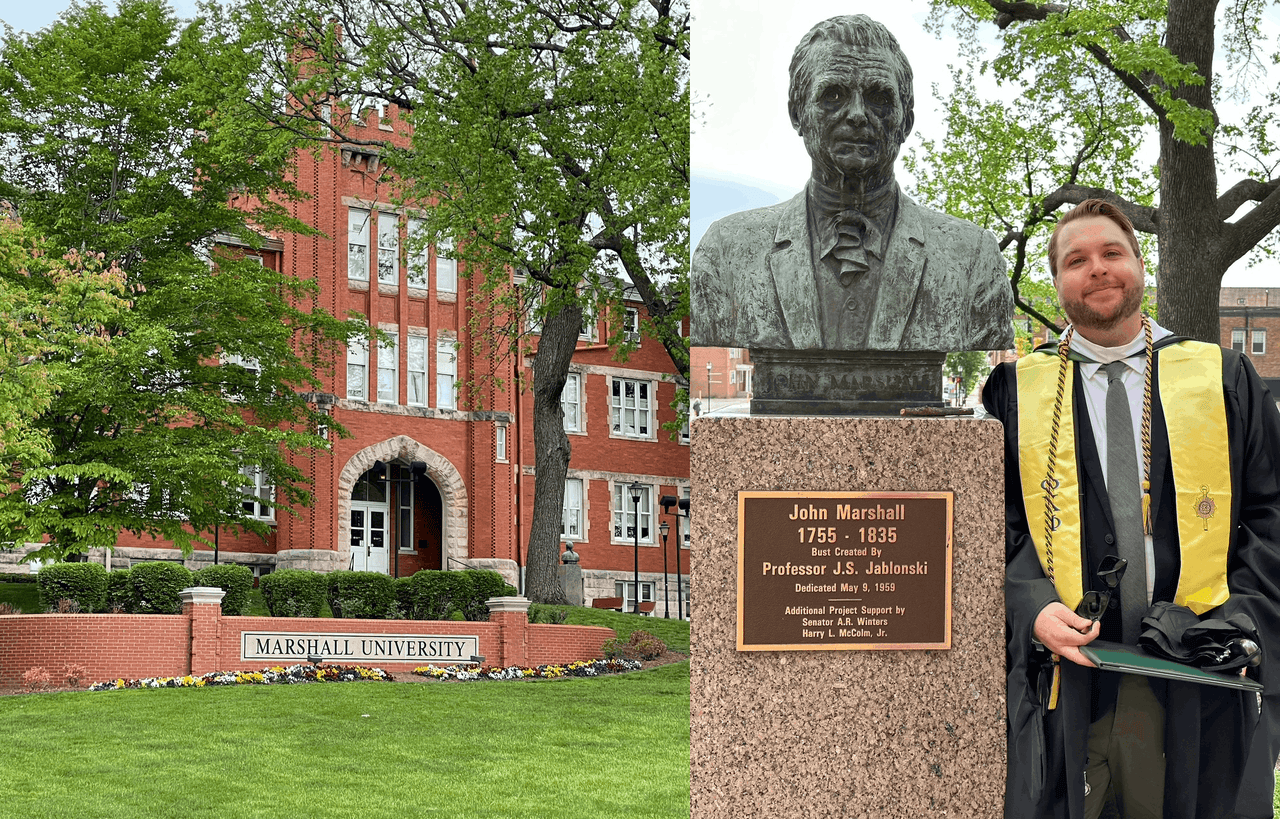
Graduating with my master's degree in geography
Bridging Two Worlds at Esri
Armed with a new graduate degree in geography, I joined Esri as an Industry Marketing Manager for National Government and Public Safety Solutions. It was the perfect bridge between my old world and the new one I was building.
 The annual National Government and Public Safety Solutions team meeting in Redlands.
I wasn’t making maps every day, but I was using my storytelling skills to show how GIS could solve real-world problems—from wildfire response to national security. My role allowed me to connect decision-makers to spatial thinking, making geospatial technology more approachable, actionable, and impactful. It felt like a full-circle moment: I was still telling stories, but now they were grounded in data, place, and purpose.
Growing as a Geographer
But I didn’t stop there. While working at Esri, I began a Ph.D. in Integrative Anthropological Sciences, with a focus on geospatial applications. This gave me the chance to deepen my technical skills while expanding the ways I apply GIS in research and education.
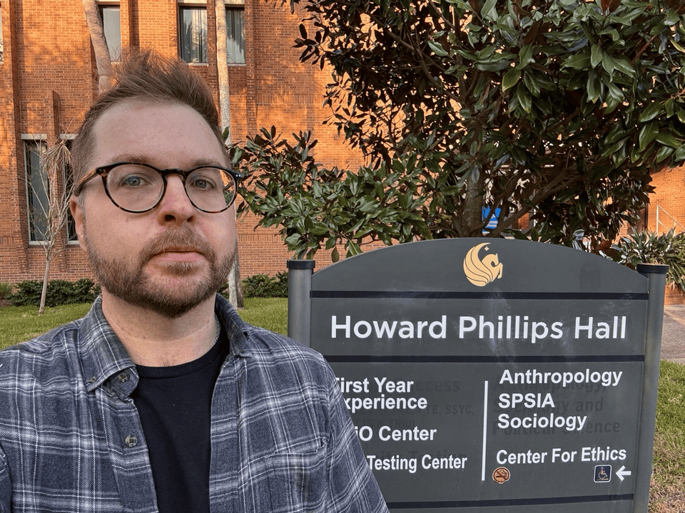
On campus at the University of Central Florida for my doctoral program.
Today, I balance a rewarding mix of roles: teaching college classes like Introduction to GIS and World Geography, conducting research on coastal geomorphology and climate resilience, presenting at academic conferences, and contributing to GeoAI research with Harvard’s Center for Geographic Analysis. It’s a lot, and I love it.
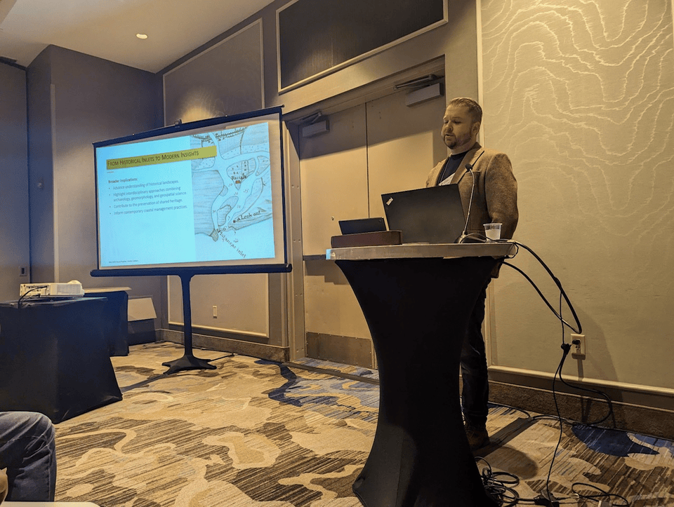
Presenting at an academic conference in New Orleans..
Wondering If You Belong? You Do.
I could offer one piece of advice to anyone curious about GIS, it’s this: your path doesn’t have to be straight. Mine definitely wasn’t. I built an entire career in one field, then pivoted hard into another; and every skill I brought with me added value. So don’t be afraid to try something new. Say yes to the unfamiliar, take the class that scares you, and follow your curiosity. Because here’s the truth: GIS is everywhere. Whatever your background, there’s a place for you in this field. And your unique perspective might be exactly what it needs.
About the Author

Bryce Peacher is a Public Safety Industry Marketing Manager at Esri, specializing in Homeland Security and Wildland Fire GIS solutions. He brings a unique blend of geospatial and research experience to his work, helping public safety professionals harness GIS technology for real-time threat management, emergency response, and operational resilience. Bryce holds a master’s degree in geography and geospatial information science, where his research spanned environmental, human, and cultural geography. He is pursuing a Ph.D. focusing on geospatial applications in anthropology, with published research on the impacts of a changing climate. Bryce’s work reflects his passion for bridging the gap between innovative GIS solutions and real-world challenges.



