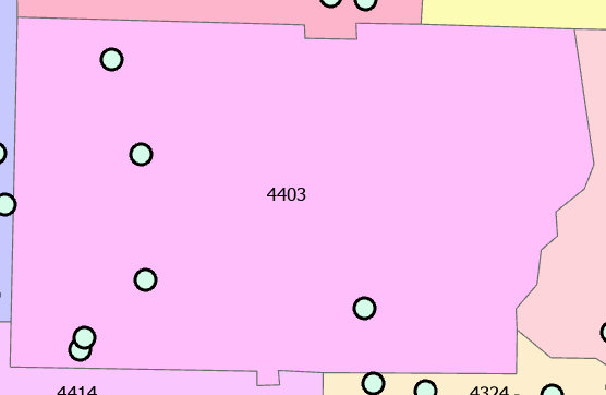
the underlying county map is a polygon with yield data. i want to associate the yield within the county boundary to the 4 points. the 4 points will have the same yield value. extract to point seems not to work because it's not a raster image?? is that correct? how would i do this.....?

