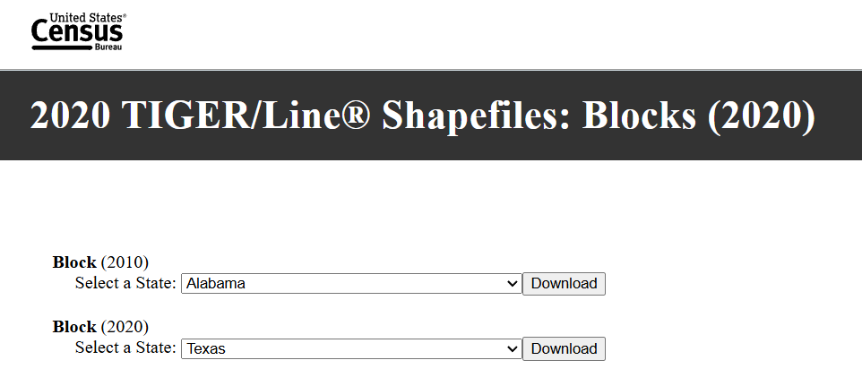
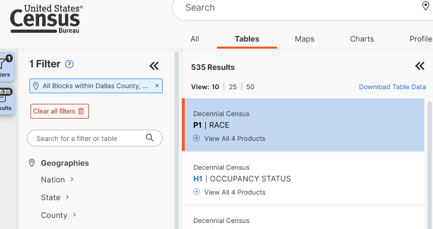
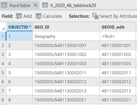
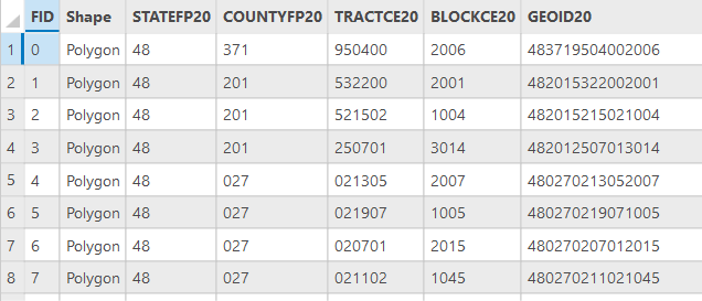
I'm trying to join a census block shapefile, taken from here, with a census data table found here. The problem is the attribute tables don't align, in particular their GEOIDs. I've got no idea what to do, is it a problem with my data sources? Pictured below are the two hyperlinks, as well as the attribute tables from my two sources of data.