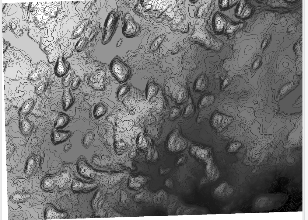
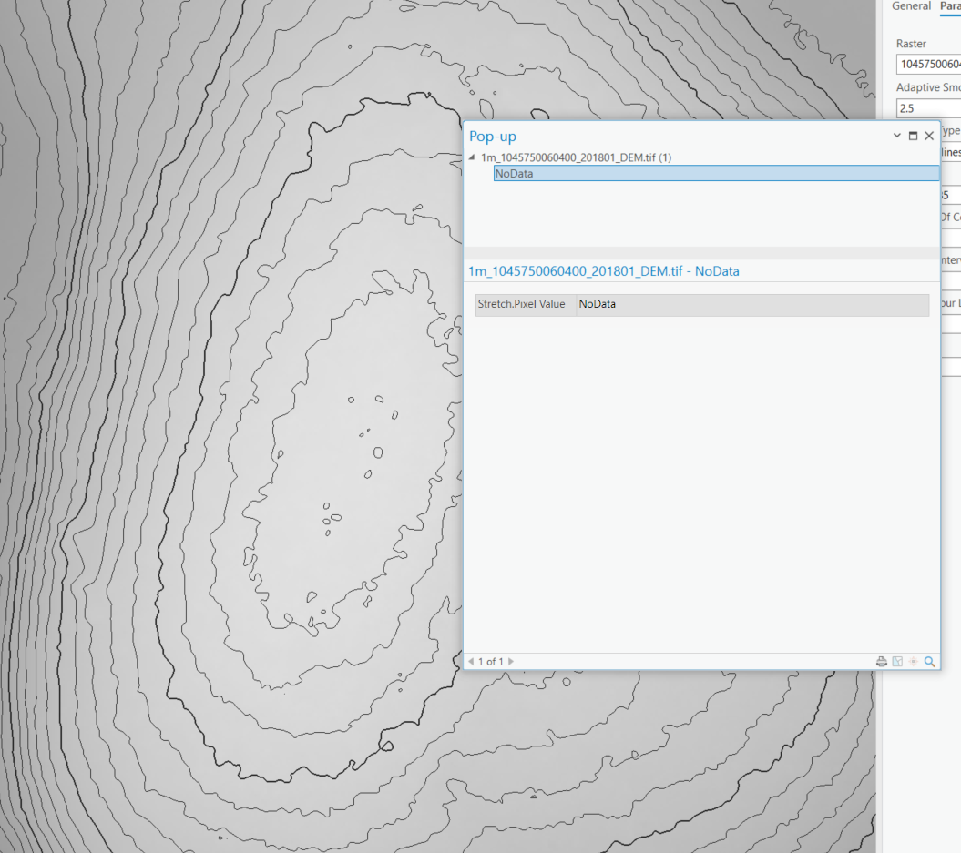
I have a DEM tif file that I created contour lines with by using:
- raster functions
- contour
- Z base from the DEM tif
- contour interval of 1
- output is a raster layer
The output layer looks great, but the issue is if I click on a contour line there is no data to tell me what the elevation of that line is. I need to be able to click on a line and it tell me its elevation is 15m for example.
Is there a different way I should be creating contour lines?