Hello ArcGIS Community,
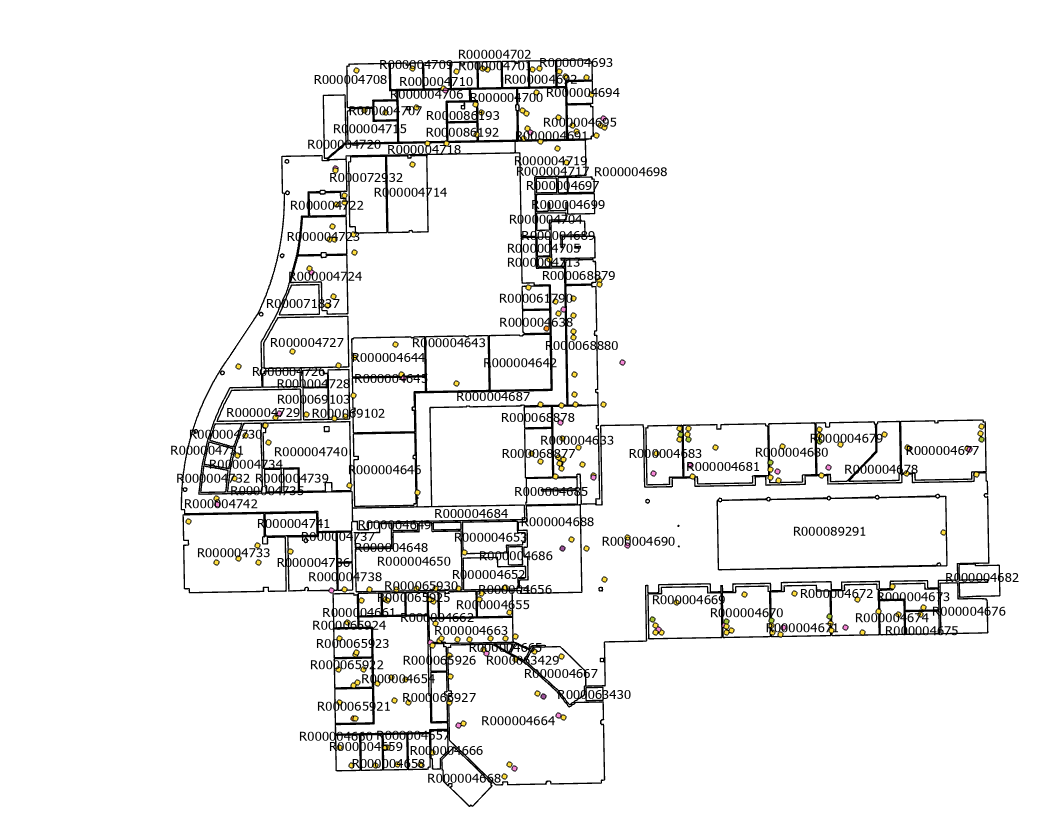
I’m working with a dataset of telecom network endpoints, primarily Wireless Access Points (WAPs), each associated with a specific room number as an attribute. Additionally, I have a floorplan polygon layer with rooms defined.
Through a spatial join using the room numbers as match fields, I discovered that only 67% of these endpoints are located within their correct rooms.
Manually moving each misplaced point to its correct room would be very time-consuming. I’m looking for a way to automate this process by moving each misplaced point to the nearest position within its corresponding room while leaving correctly placed points alone. Unfortunately, I haven’t found any out-of-the-box geoprocessing tools in ArcGIS to achieve this, so I suspect some scripting will be necessary.
Does anyone have experience with a similar task or have any Python scripting ideas that could help automate moving the points to their correct rooms using the shortest possible distance?
Thank you in advance for your assistance!
Best,
Ross