Hey there,
I am trying to find a way to resize the image card. I have it side by side with the text card. It is really easy to get it in this format, but I would like to be able to set the size of the image card, is there a way to do this with the inspect tool possibly (since you can't code)?
I have also tried to code the image & text side by side which works fine, but I realized when I viewed the website from a smart phone the image and text are locked in sxs instead of having the image and text line up vertically. Is there a way to edit my code to allow for movement based on screen size/type of device?
Image 1: Image & Text card SxS (but no option to edit image size)
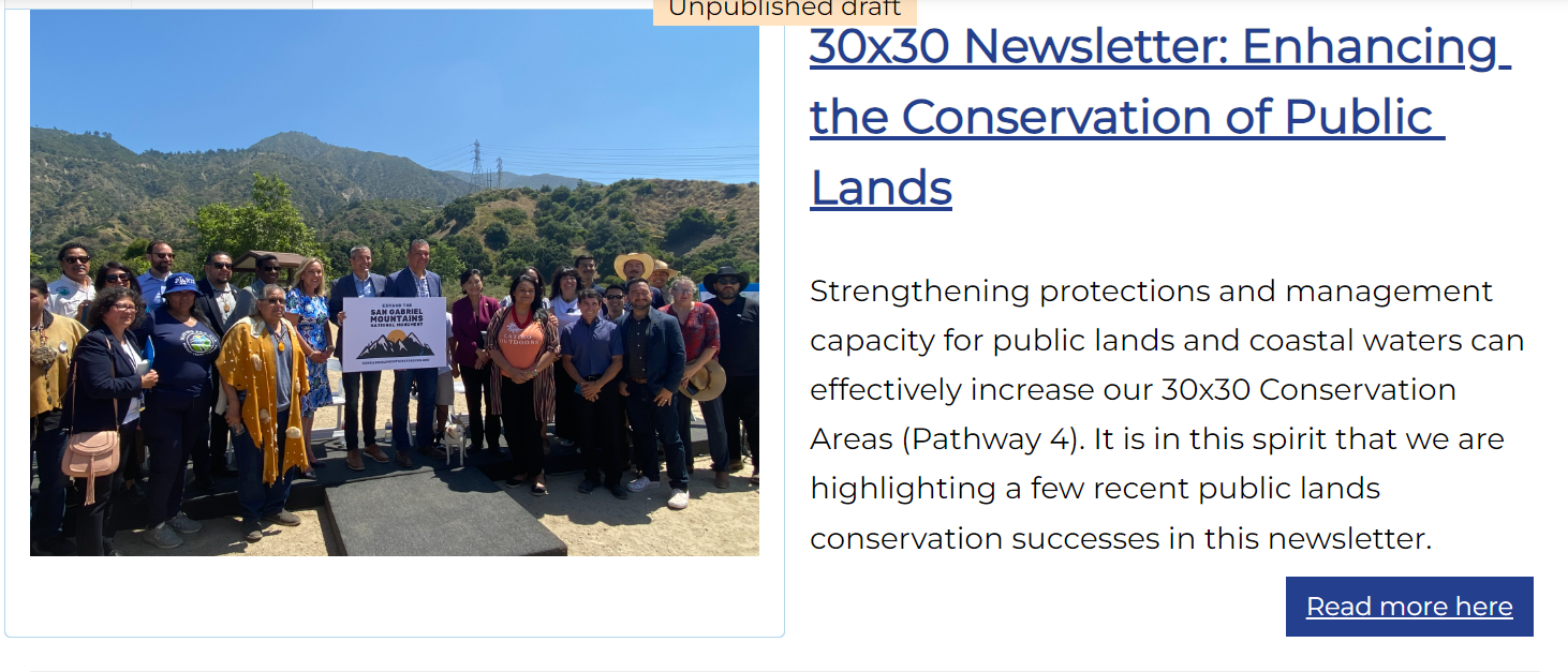
Image 2: Using html to display image in a float left style and text float right (but the image and text do not re-align vertically for smart phones/tablets)

Here is the code from the second option. I also found that if I add too much text, the text just runs off of this row/card and into other elements forcing me to put a space below.
<style>
.image-container {
float: left;
width: 390px;
height: 310px;
overflow: hidden;
margin-top: 20px;
}
.image {
width: 90%;
height: 100%;
object-fit: cover;
}
.text-container {
float: right;
width: calc(100% - 390px); /* Subtract the image width from the total width */
height: auto;
overflow: visible;
padding: 10px;
box-sizing: border-box;
}
</style>
<div class="image-container">
<img class="image" src="https://canature.maps.arcgis.com/sharing/rest/content/items/306db0125905409aaf13d13e45b2a177/data" alt="30x30 December Newsletter">
</div>
<div class="text-container">
<p style="text-align: left;"><font face="Montserrat, Montserrat_EmbeddedFont, Montserrat_MSFontService, sans-serif"><span style="font-size: 29.3333px; white-space-collapse: preserve;"><b><u><a href="https://canature.maps.arcgis.com/sharing/rest/content/items/129c35f9f0584ac090f5eac01abb5e7e/data" target="_blank">30x30 Newsletter: Enhancing the Conservation of Public Lands</a></u></b></span></font></p><h3 style="text-align: left;"><font face="Montserrat, Montserrat_EmbeddedFont, Montserrat_MSFontService, sans-serif"><span style="font-size: 18.6667px; white-space-collapse: preserve;">Strengthening protections and management capacity for public lands and coastal waters can effectively increase our 30x30 Conservation Areas (Pathway 4). It is in this spirit that we are highlighting a few recent public lands conservation successes in this newsletter.</span></font><br></h3>
<div class="card-btn" style="float: right;">
<a href="https://canature.maps.arcgis.com/sharing/rest/content/items/129c35f9f0584ac090f5eac01abb5e7e/data" aria-label="Read more here" class="btn btn-primary" style="text-align: right; color:#ffffff;" target="_blank">Read more here</a></div>
</div>


