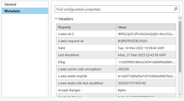
Hello community, does anyone know how to use python to get the last modified date for raster dataset? In my case, I have some TIFF files in S3 bucket, which is a cloud storage store. I want to scan folders and identify the newly added TIFF dataset. Instead of using the specific package for aws bucket, is it possible to use arcpy or arcgis api for python to get the modified date from the property headers?
Thanks in advance!
Han

