In Map viewer, ArcGISonline now supports complex line symbology, lines built with more than one layer. An example is a line symbol built with one dashed line layer and one marker symbol layer. See example from the web map below.
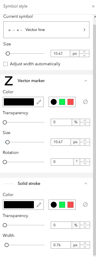
For us, support of this in map viewer in hosted feature services in AGO has been a long desired functionality. Then we can use official cartography without going via tile services or ArcGISEntreprise services.
Scene viewer doesnt support these line symbols. In Sceneviewer, a solid, wide line is returned instead of the dashed line with markers. It would be great to be able to get equal symbol support in both Map viewer and Scene viewer.




