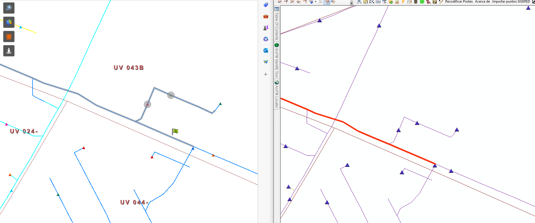
I wrote a python script that trace upstream a geometric network. I had publish it as geoprocessing service, but on my web app I have different result than my result at ArcMap.
Why could it be ? The data is the same and the script too.
As can see at the image, the correct result is the right side from ArcMap.
Any idea or help will be appreciated.



