Hello Community,
I have a question very simple.
I have a feature layer of line of metro in Paris. I used the name of the line to create a "classification" to have a coloured symbology for each line of metro.
But, now i want to integrate in my map a simple fonctionnality : the possibility to show and hide certain line of metro with a click on a checkbox or watherver.
Actually, it's impossible from the layers windows to select which line i want to show or hide.
I want to know how it's possible to do something like that :
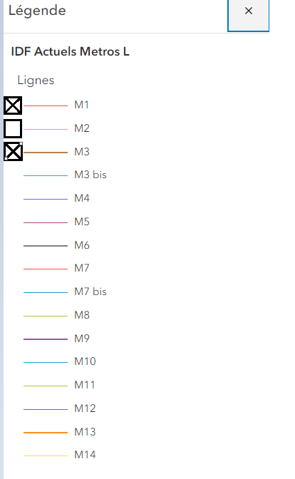
It could be on the legend, or in a "layer controller windows" it doesn't matter.
I just want to allow the users that use the application to show and hide what he want.
It's supposed to be a basic things in GIS, but i don't know why, i didn't find how to do that...
It might be simple but i need your help to find this feature.
Thanks, have a nice day !




