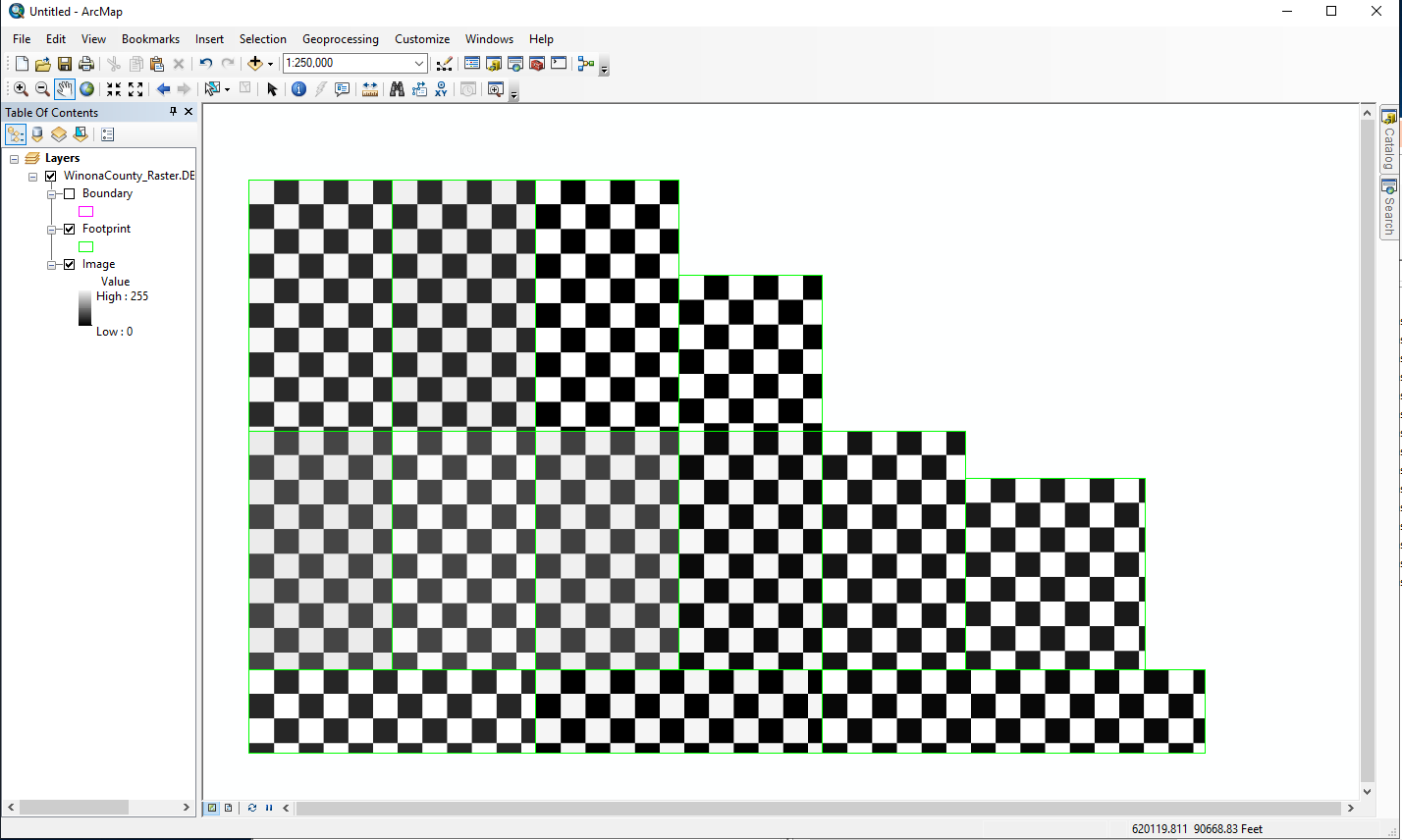
Our county office users have a mosaic raster of aerial imagery to use as a basemap for the county area. For the most recent aerial imagery data, some of our users have a black and white checkboard pattern showing up when they add the data into ArcMap, as opposed to the photography of the land. We had a similar issue to this before where it was solved by giving the users access to the drive containing the original .tif files. However, that detail does not solve the problem this time for those getting the black and white boxes error. Do you know what else could be adjusted here?
Thanks,
ZJK