I am trying to recreate an old wall map that our Fire Department uses for their hydrant data. In the past, the map was made in ArcMap and ended up being three 94"x36" maps that overlapped a couple of inches and they had laminated and taped together.
I am curious to know how you all have handled making maps like this that can be printed with overlap without having to make three individual layouts for each one? I'm wondering if there is an easier way to accomplish the same thing?
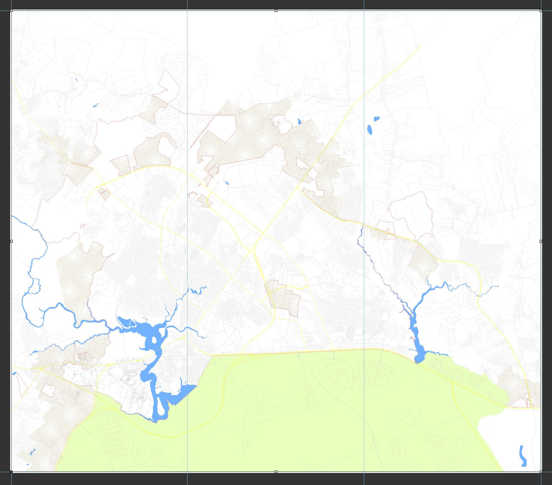
So far, I have a layout of 108.5"x94.5" with three guides evenly dividing the overall map. I was thinking I'll just print tile oversized but I don't believe there is a way to include an overlap so that when they stick them together, they line up nicely. I've included a screenshot of my current layout but there won't be overlaps in this format.
(For the record, we HATE printing and using paper when there are soooo many other options through the ESRI apps/solutions but when we're working with a bunch of old fashioned people, we don't really have a choice in some special cases like this. Most of the time, people end up loving the apps we build for them but our awesome fire folks are a bit hard headed. 😂)


