We recently upgraded our server from 10.9.1 to 11.0. After the upgrade, the filtering of layers in the maps in our dashboards stopped working. This was a problem in 10.8, was fixed in 10.9, and has been reintroduced in 11.0. As the symbology options for feature services are very restrictive, we do require the use of map image services for many of our maps.
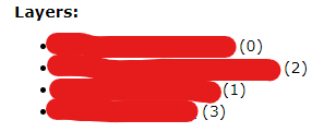
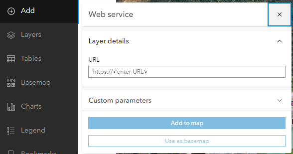
We have found a possible workaround. Rather than adding the entire map image service to a web map by browsing the layers in our portal, we add the individual parts of the service by URL. You can get the URL by opening the REST services directory for that service and clicking on each layer in that service. Your URL will end with something like this: /MapServer/0. In the case below, there are four layers to add. Once added, you can filter map image services in your map.
This is definitely a new (or reintroduced) issue, but for now this workaround will keep our dashboards functioning.

