Hello all,
I am trying to do some large-scale deep-learning-based building footprint segmentation. The issue is getting the high-resolution satellite images for input data.
First, I tried "Sentinel-2 Views" from Living Atlas (https://www.arcgis.com/home/item.html?id=fd61b9e0c69c4e14bebd50a9a968348c). But as you can see in the below image, the resolution is quite poor. It states 10, 20, and 60 m multispectral, but my focus is more on the residential area, which often turns out to be 60m low resolution.
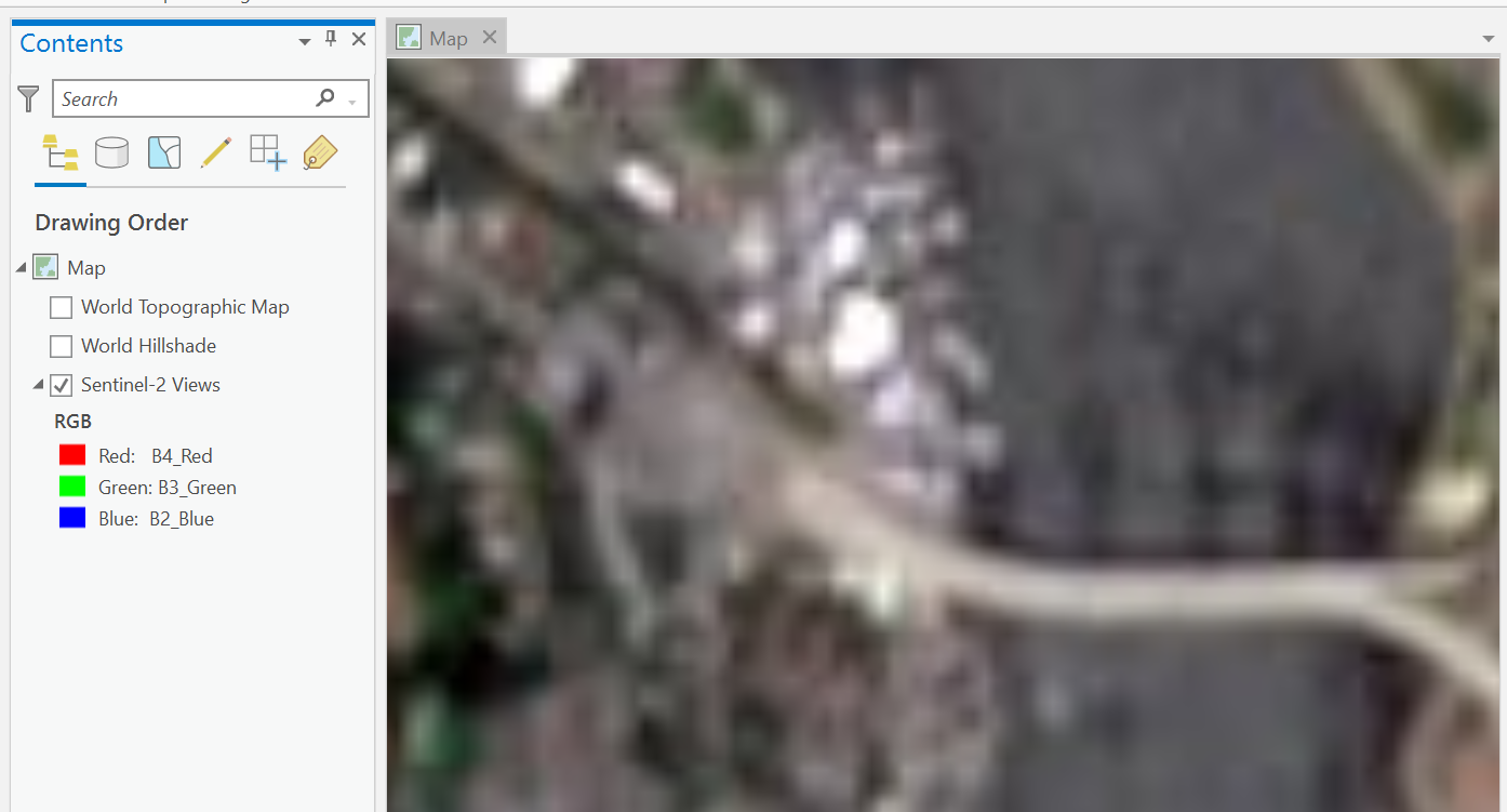
I guess "Sentinel 2-view" is no good for non-major areas and is simply better to use the default "World Imagery" map:
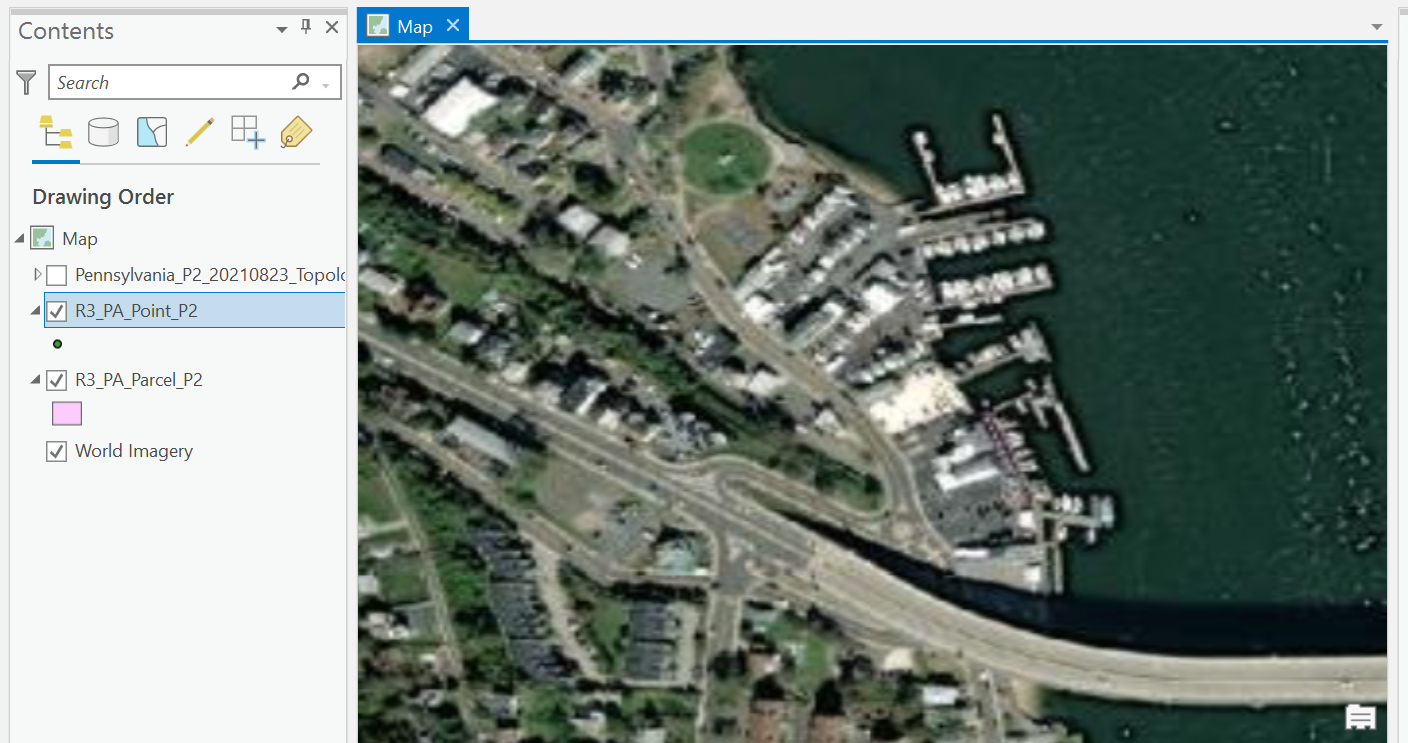
So the question is...
(1) What are other sources for downloadable high-resolution satellite images?
(2) When "Sentinel 2-view" states 10, 20, and 60 m resolution, is there a way to filter out 60m resolution images?
Thank you!



