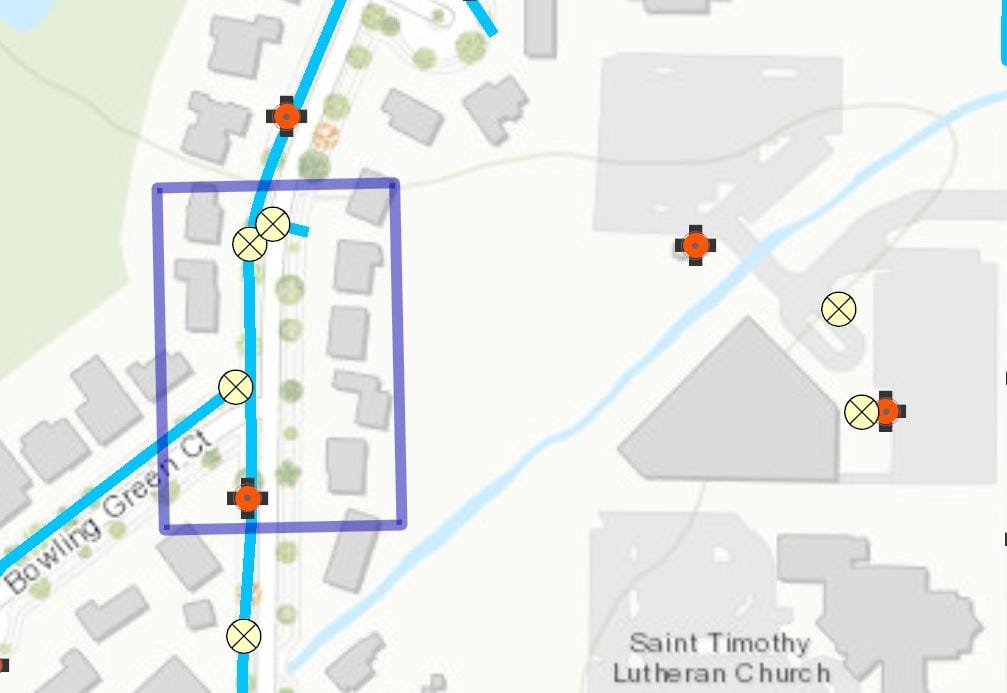
There is a feature on the map that allows you to select a certain area in the existing map using a 'RECTANGLE' or any using other options. We need to show the layer details within the selected area, . I've attached a screenshot in which I've used sketchEditor to mark the area, and now I need to show the available layer data within that area. I'm not sure how to proceed because we need to pass some parameters, such as the screen point, in order to get the layer data. I can get the geometry value from the sketchEditor, but I'm not sure if I can access the layer data from passing that.
Could anyone mention how to get the graphic details from the selected area?