I am using a Phantom 4 Multispectral drone, which is a DJI product, to capture images which are automatically computed by the drone into the vegetation index called NDVI as shown below and stored as a JPG.
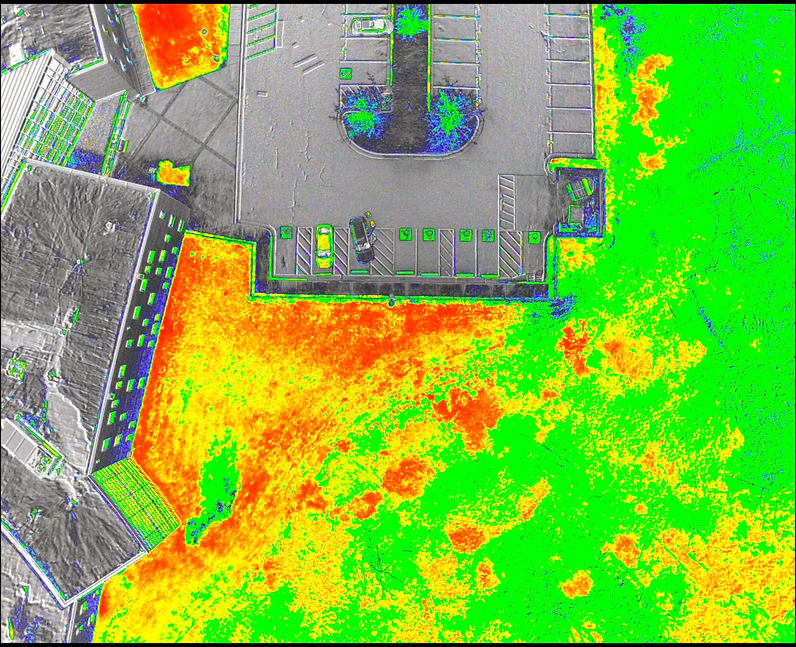
I can add it to GIS as a raster layer, but it is not georeferenced and so it appears in the middle of the ocean. The image has metadata which includes the GPS coordinates of the drone at the time of the photo. When I add the raster, it creates a .aux file, but this file doesn't include the GPS data. All of the tutorials that I've tried to follow for georeferencing a raster haven't worked. For the raster I've gone into properties > spatial reference and set the coordinate system to WGS_1984_World_Mercator which is the same coordinate system that is selected for the map. It seems like it's just not receiving the coordinates of the image and so its just putting it at 0,0.
I'm wondering if anybody knows if this DJI product is compatible with ArcGIS and if so how to get these images georeferenced. Thank you.
