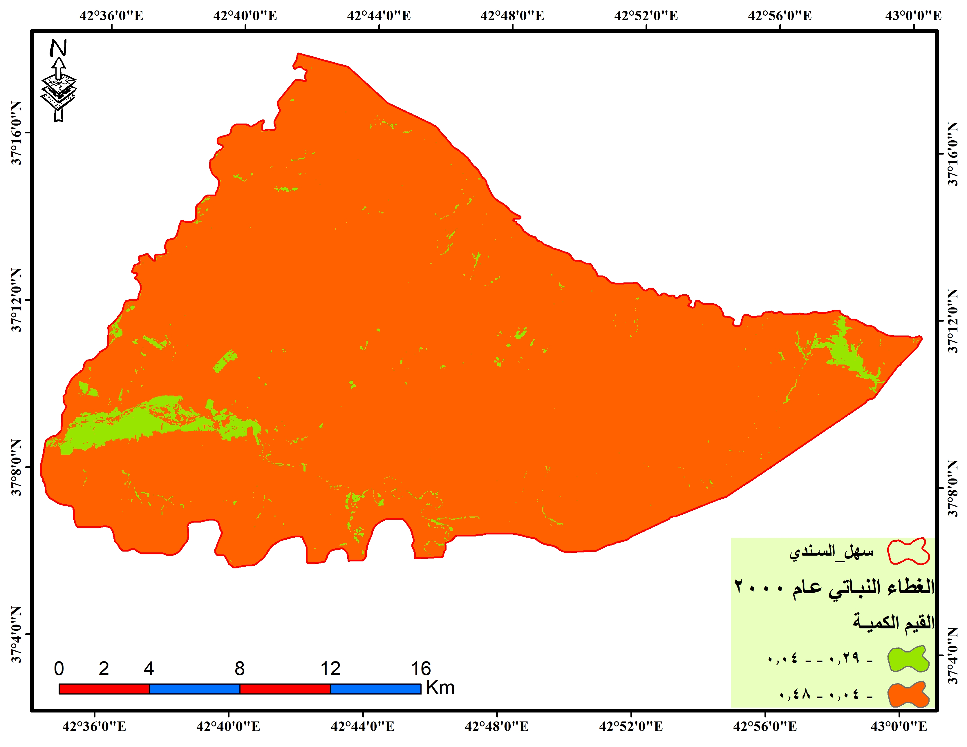
Greetings, I made a classification of the Earth's surfacee and used the vegetation cover index to compare between the years 2000 and 2020, is the work on the visual of Landsat 8 and taken on June 6 / 9 is correct? Note that our region is cold and spring is delayed until the end of the fifth month of May. Thank you.
Angemeldete Mitglieder können Beiträge verfassen, Updates folgen und mehr. Neu hier? Registriere ein kostenloses Konto.
Find useful guides, FAQs, and documents to help you navigate and make the most of Esri Community.