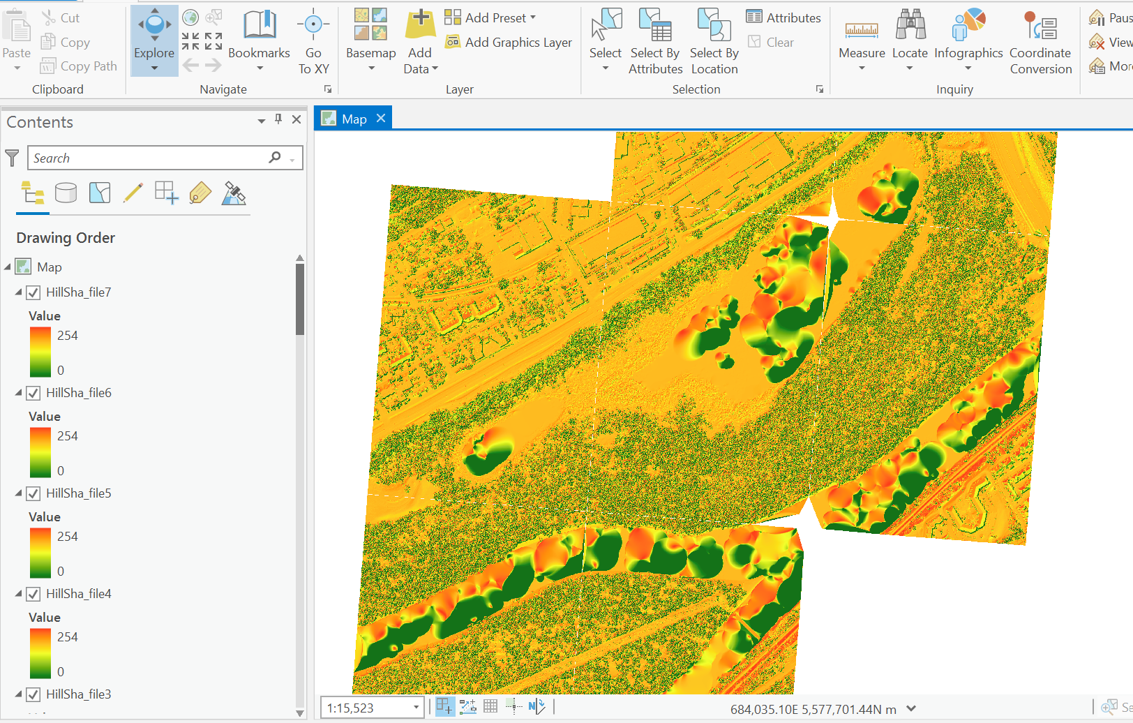
I have tried to create a DEM using .LAZ files from USGS. I converted those to .LAS files using the Create LAS tool. I then created hillshade files form there using the Create LAS Dataset tool. The product from that is shown in the image above.
Is there a way to smooth or exaggerate the elevation so I can determine the elevation of specific areas? Does this DEM appear correct and it is just picking up on the microtopography of the floodplain? The portions of "blobs" in the elevation are of water bodies. Thank you for helping.

