Hello,
I am using ArcGIS Pro to display Survey123 data. The surveys are collecting information on the level of litter along a coastline - low/medium/high and length of contamination.
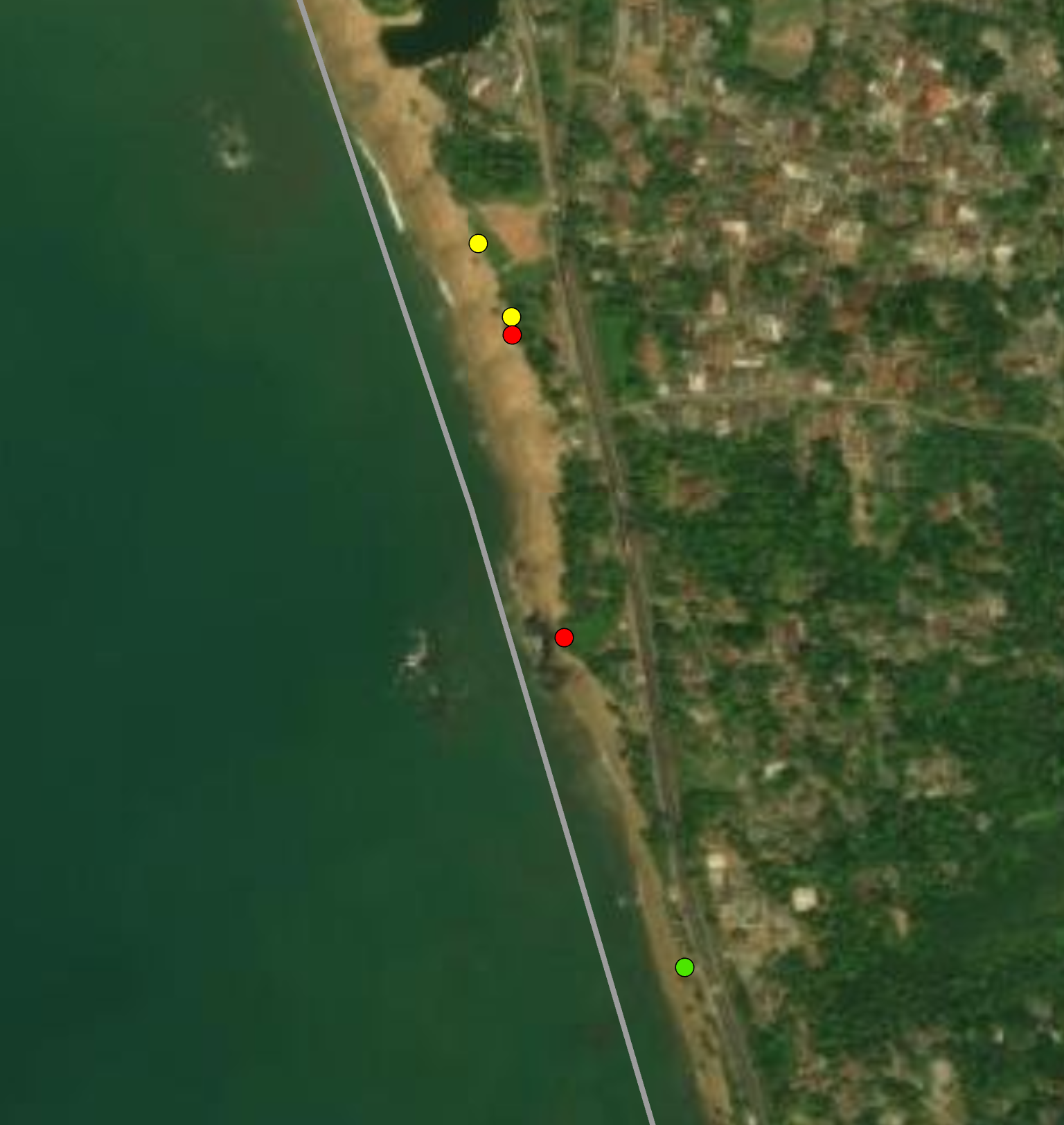
The survey results are just points, however, I would like to convert them into line segments along the coastline. The length of the segment should depend on the length of contamination, i.e., if one survey at xyz N, xyz E, recorded high contamination for 2 km, the point would be mapped onto the coastline and a new line/segment would be created 2 km long, with the new point (based on survey location) being in the middle.
I cannot use point to line as this doesn't consider the length. Also, the survey locations are a little off and do not sit directly on the line in the coastline layer.
The attached photo shows the grey coastline and the survey data as points (colour based on level of contamination). The surveys continue to be collected, therefore, the most recent line segments will need to be on top of older data that may overlap.
Can anyone help?