The best way to learn location analytics is to actually do it -- that is, engage with it in a hands-on way. The maps, infographics, dashboards, and story maps are captivating, and the problems that can be solved are relevant and timely.
Faculty: Feel free to use this assortment of hands-on activities in your courses and programs and give you confidence that you can use these tools in instruction.
Students: Use these activities to further your own learning, empowered with skills that you can take into your future workplace.
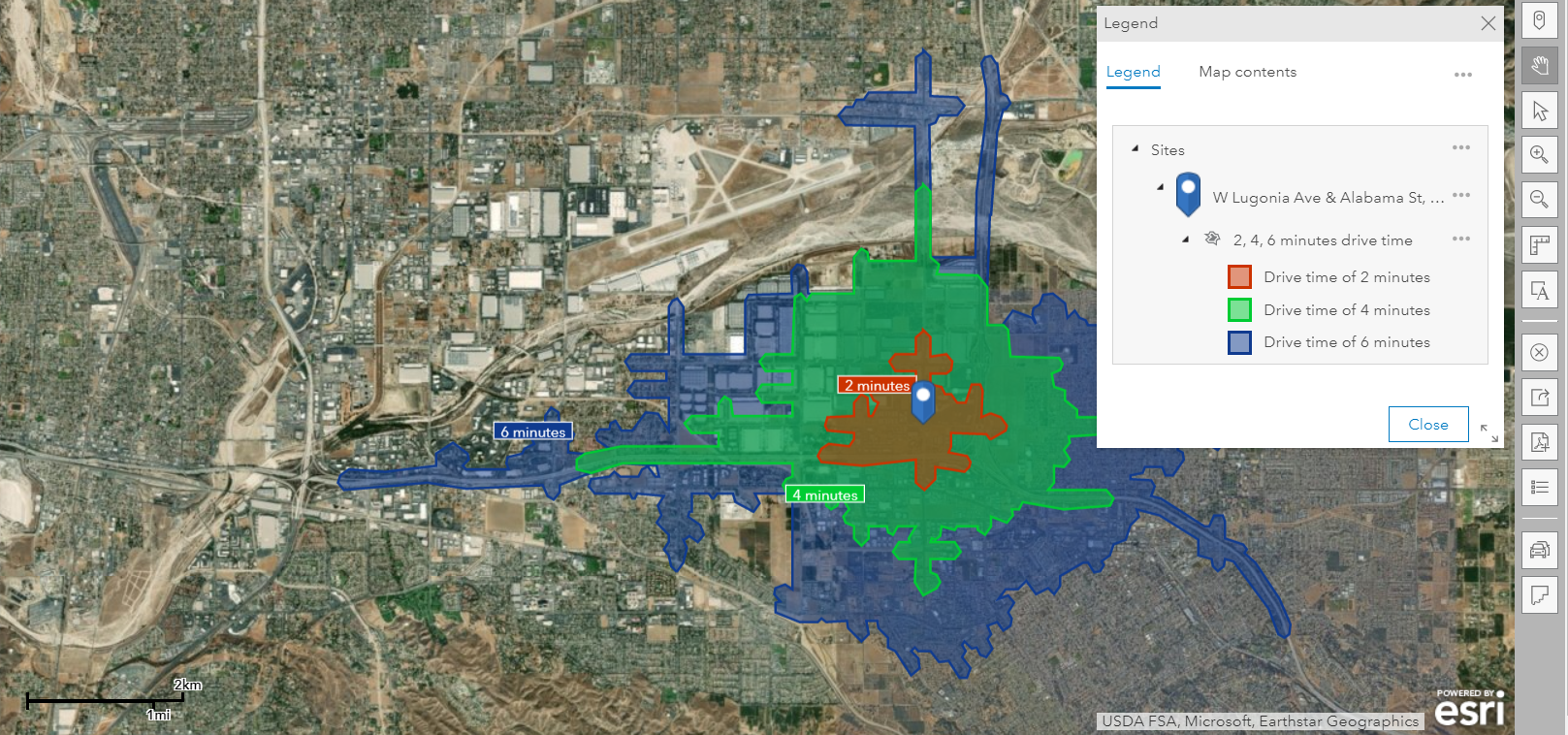
Drive times using Business Analyst Web - part of one of the attached lessons.
Please count me as a mentor and collabortor in teaching, facilitating, and exposing GIS and Non GIS students to more industry-specific GIS application solutions; such as Business, SCM, Insurance, Health, transportation, government, etc. It is one thing to learn how to split a polygon or geocode some address, and it seems to me that the real juice in GIS is understanding the how and the purpose of using the vast number of geoprocessing tools. Thanks for posting, James
Thanks Professor Armstrong for your enthusiasm and for your vision for using GIS as a set of tools and perspectives for teaching critical and spatial thinking across a wide domain of disciplines! I look forward ot our further conversations!
--Joseph Kerski
This page was updated in June 2023 to include some exciting new resources!
Angemeldete Mitglieder können Beiträge verfassen, Updates folgen und mehr. Neu hier? Registrieren Sie ein kostenloses Konto.
Find useful guides, FAQs, and documents to help you navigate and make the most of Esri Community.