I've been trying to execute land cover classification using deep learning in ArcGIS Pro with Landsat-8 data to no avail. The results look like incomplete and I have been wondering what I did wrong. I started off with multilabel classification attempt, but it did not manage to classify anything fully. Just very patches here and there despite few hundreds of training data created with 'Training Sample Manager'; refer to the screenshot below of the classified image and the real Landsat-8 image
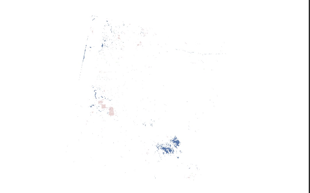
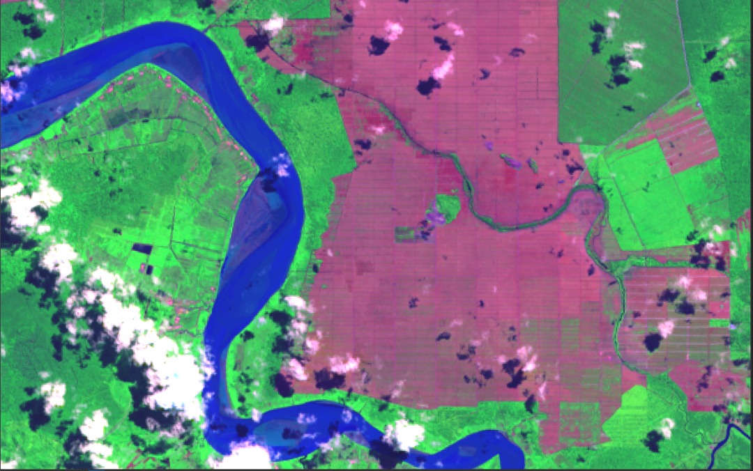
The classified patches overlay the Landsat-8 image perfectly and is accurate but...why is it in patches like that and not classify the whole image?
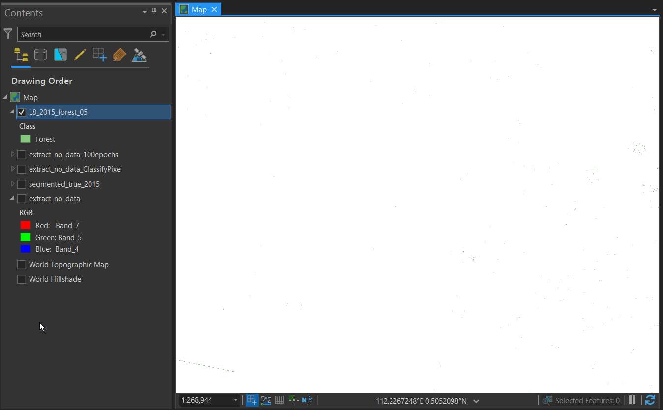
So I thought, maybe it can only handle 1 class label at a time....so I made a single 'Forest' class in the Training Sample Manager, Export Training Data for Deep Learning and train the data in the Jupyter Notebook with the codes I extract from the technical talk 'Geospatial for Deep Learning'. Then using Classify Pixels with Deep Learning tools as outlined. In all instances, the tool took more than 3 hours. For this single class, the result is worse off...practically nothing was generated except some stray pixels; refer below.
Overall, I have been following the procedure to the T but it's not producing similar results as I would expect to get out of the Deep Learning Framework. Can some give me some guidance concerning this? Because I've been at it for 2 weeks and I'm pretty much close to throwing the towel. There has to be a solution for this and I'm sure I'm just missing it.
Any help is greatly appreciated.
Azalea.






![2021-04-10 09_56_20-MyProject [Backup In Progress] - Map - ArcGIS Pro.png](https://us.v-cdn.net/6038851/uploads/images/10547i9A423CBA01B70D41/2021-04-10%2009_56_20-MyProject%20%5BBackup%20In%20Progress%5D%20-%20Map%20-%20ArcGIS%20Pro.png "2021-04-10 09_56_20-MyProject [Backup In Progress] - Map - ArcGIS Pro.png")

