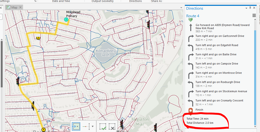
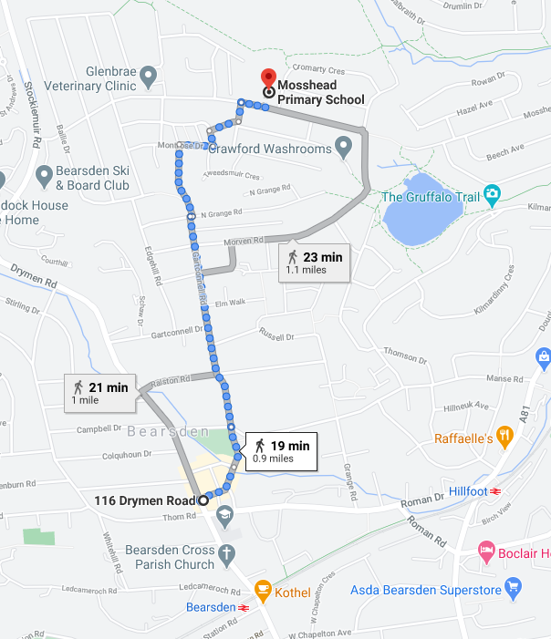
I have been tasked with creating a network dataset that allows me to enter multiple points with the same end point that uses paths as the preferred routing method instead of roads centre lines. I have created a network dataset using Ordnance Survey Paths and RAMI datasets but I have not been able to recreate the same results as google which is going to cause a huge issue. Has anyone configured anything like this before?