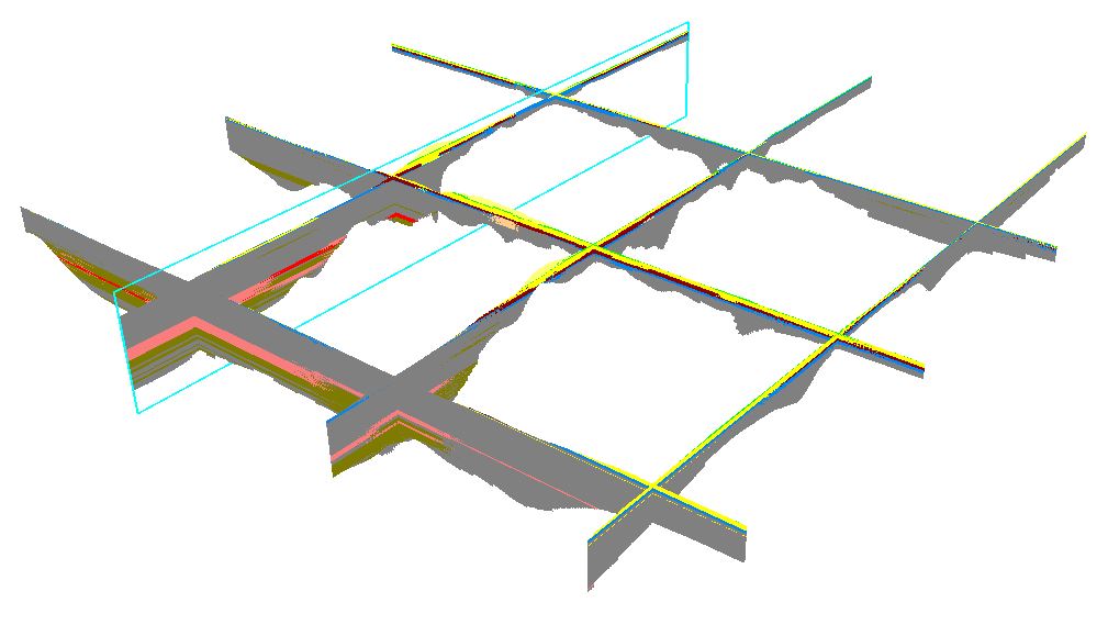
We have just started to use Voxel Layers and we are wondering if it's possible to export voxel layer sections. Firstly without any certain outputtype specified, but perhaps a multipatch (or 3D object) export. So we could share these sections in our organisation (as files and services).
Our current workflow is:
1. Receive a CSV from the Geotechnical department, load that data into ArcGIS Pro.
2. Use the Table to NetCDF geoprocessing tool, with x, y and z as domains and a geological class as variable.
3. Create voxel layer sections at designated locations.
What we would like to do is share these sections as files to use in for instance AutoCAD Civil 3D. We have a FME installation to ETL whatever output to that designated output. But I currently can't find any export possibilities at all. On the long run it would also be great to share at least some sections in our GIS viewers.