I have been running the HAND-based Flood Depth and Extent From Table tool for two adjoining watersheds. However, I consistently receive output—both flood depth raster and flood extent polygon—for only one watershed, and even that appears in fragmented sections. Despite rerunning the tool multiple times, the result remains the same. When I previously ran the basic HAND-based Flood Depth and Extent tool, I obtained flood depth outputs for the entire watershed as expected. I generated the catchment and flow direction rasters using the Arc Hydro tools, and calculated the HAND raster using the Flow Distance tool from the Spatial Analyst toolbox.
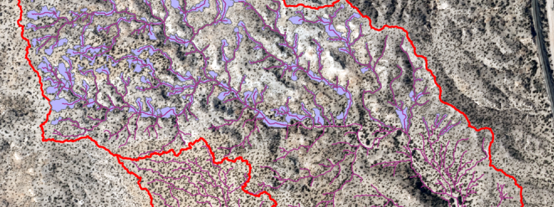
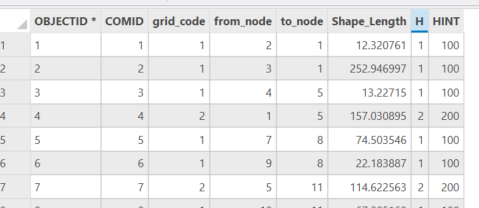
To prepare the Input Flood Depth Table, I first classified stream order using the Strahler method. The resulting stream order raster was converted to vector format using the Stream to Feature tool. After exporting the attribute table, I added a new field named "H" to represent vertical height values. Additionally, I renamed the ArcID field to COMID to align with the naming conventions used in the input requirements of the flood depth analysis.
DeanDjokic !

