ArcGIS Pro 3.2.2:
I have a .tiff engineering drawing that I've georeferenced. I want to only see the black lines in the image; I want the white background to be removed so that I can clearly see the ortho beneath the georeferenced image.
I imagine there is a way to remove the white pixels using raster geoprocessing tools. However, raster analysis isn't my area of expertise, and I recall raster editing being fiddly work, so I'm looking for an easier option.
Idea:
- A button in the Imagery ribbon to quicklly remove white (and near-white) pixels from the existing image (not a copy/export).
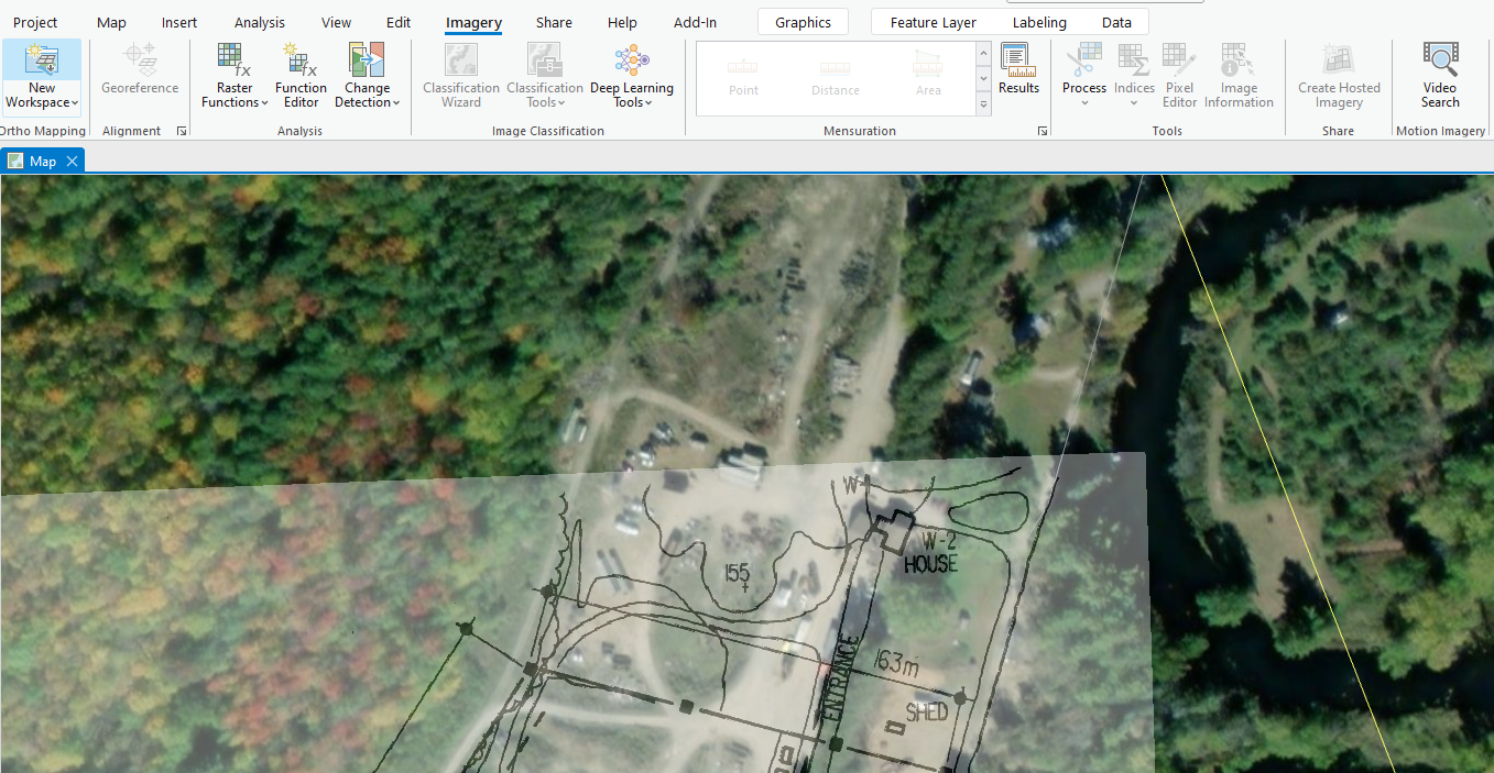
I'm aware I can make the entire image semi-transparent so that I can see the ortho beneath the image. That works to a degree, but the ortho is still somewhat obscured by the semi-transparent white pixels. It would be better if the white pixels were completely removed, improving visibility.




