Hi, all
I am using ArcGIS Maps SDK for .Net(200.2) , and trying to create a viewshed using a geoprocessing package(.gpkx) executed with ArcGIS Maps SDK for Local Server(200.1). First, I created a geoprocessing package (.gpkx) in ArcGIS Pro(3.02) involving a custom geoprocessing model that includes the Viewshed(3D Analyst) geoprocessing tool, then i coded a WPF app to execute the geoprocessing package with ArcGIS Runtime Local Server, it worked well, i got the viewshed raster from the outputs.
Now i would like to replace the Viewshed(3D Analyst) geoprocessing tool with the Geodesic Viewshed(3D Analyst) geoprocessing tool, unfortunately it doesn't work anymore, and shows a messages:
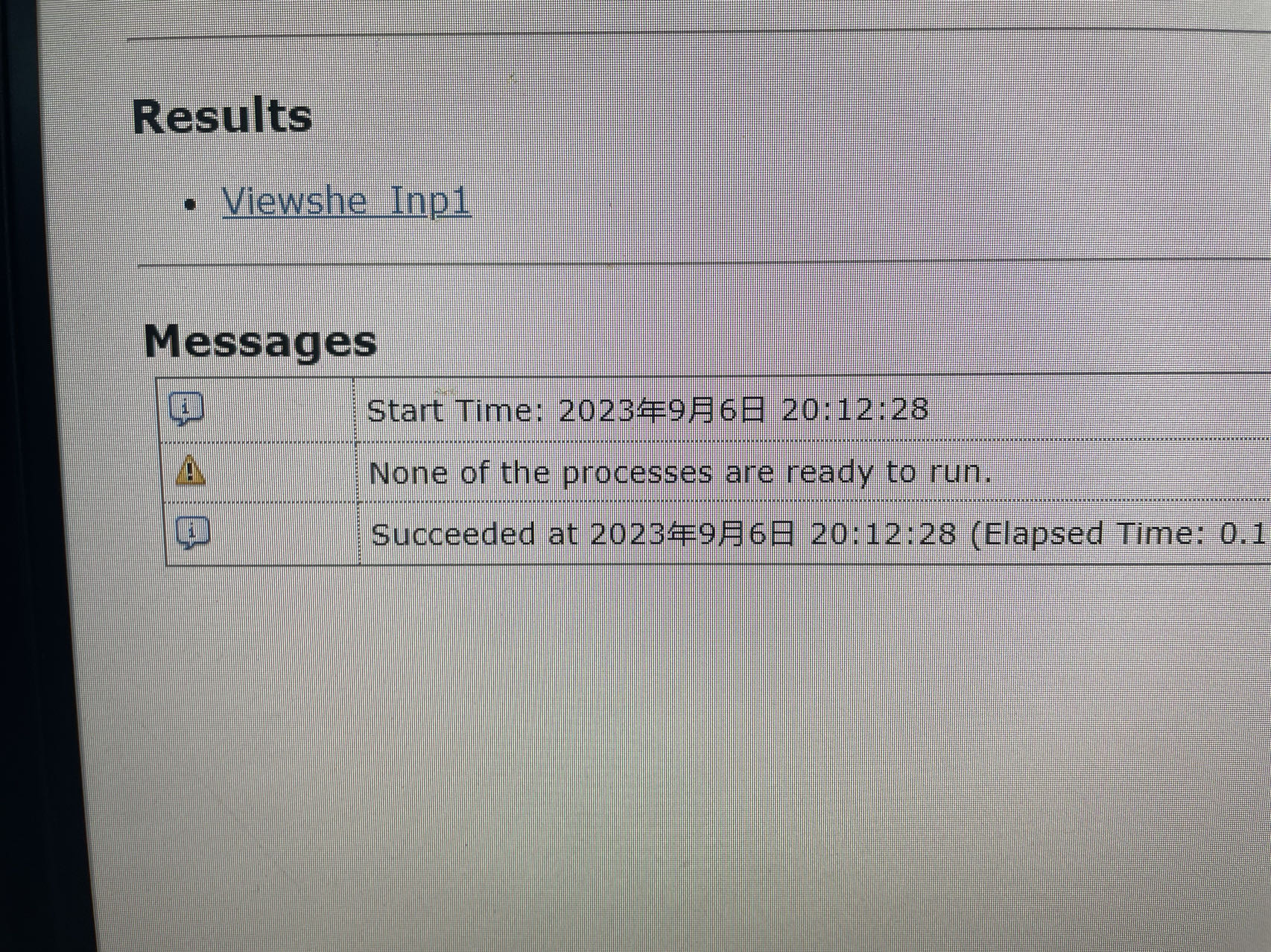
I've tried many ways but it still doesn't work, it doesn't throw any errors, so I have no clue what's missing.
I am wondering if anyone has successfully used the Geodesic Viewshed(3D Analyst) geoprocessing tool with ArcGIS Runtime Local Server.Can someone help me please?

