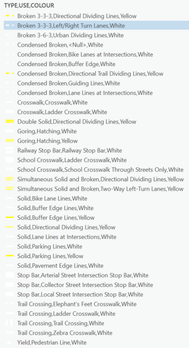
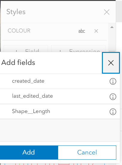
I published a layer of pavement marking lines to AGOL using the Share as Web Layer option in ArcGIS Pro. Since publishing the layer several weeks ago, I have started to configure a few field maps apps using the dataset. One of the apps requires that I create a custom pop-up in map viewer classic. I received a warning when I first opened the map that some of the layer symbology was created in map viewer and is incompatible with map viewer classic. I created a custom link to Survey123 and saved the layer - not realizing that the original symbology was overwritten and all of my linework is now stored at thin grey lines. Is there a way to recover my original symbology? I would also be willing to re-create all of the symbols manually but when I try to configure it in ArcGIS Online I am only able to add 1 text field attribute when I need to symbolize using 3 (Type, Use, Colour). i.e. as soon as I select one of the fields and click the +Filed button again I can only choose to add the created date, edited data or shape length fields.