Seeing how many questions I can ask this week. JK. This MUST be a bug (still?) https://community.esri.com/t5/arcgis-pro-questions/map-series-export-to-multiple-pdfs-not-maintaining/td-p/55908
My situation is not the exact same as referenced post, but really simple (I replied there as well for potential feedback). I have a map series index layer (rectangles) of various sized rectangles. Approx. 20 indices with 7 unique sizes. Here are half of them:
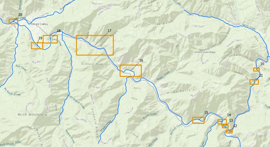
Despite setting the Map Extent --> Best Fit Extent --> Margin Size 0 (percent, points, or whatever) in Layout Properties --> Map Series, my margins come out differently for the different sizes in the generated Map Series.
NOTICE orange boundaries are the actual indices
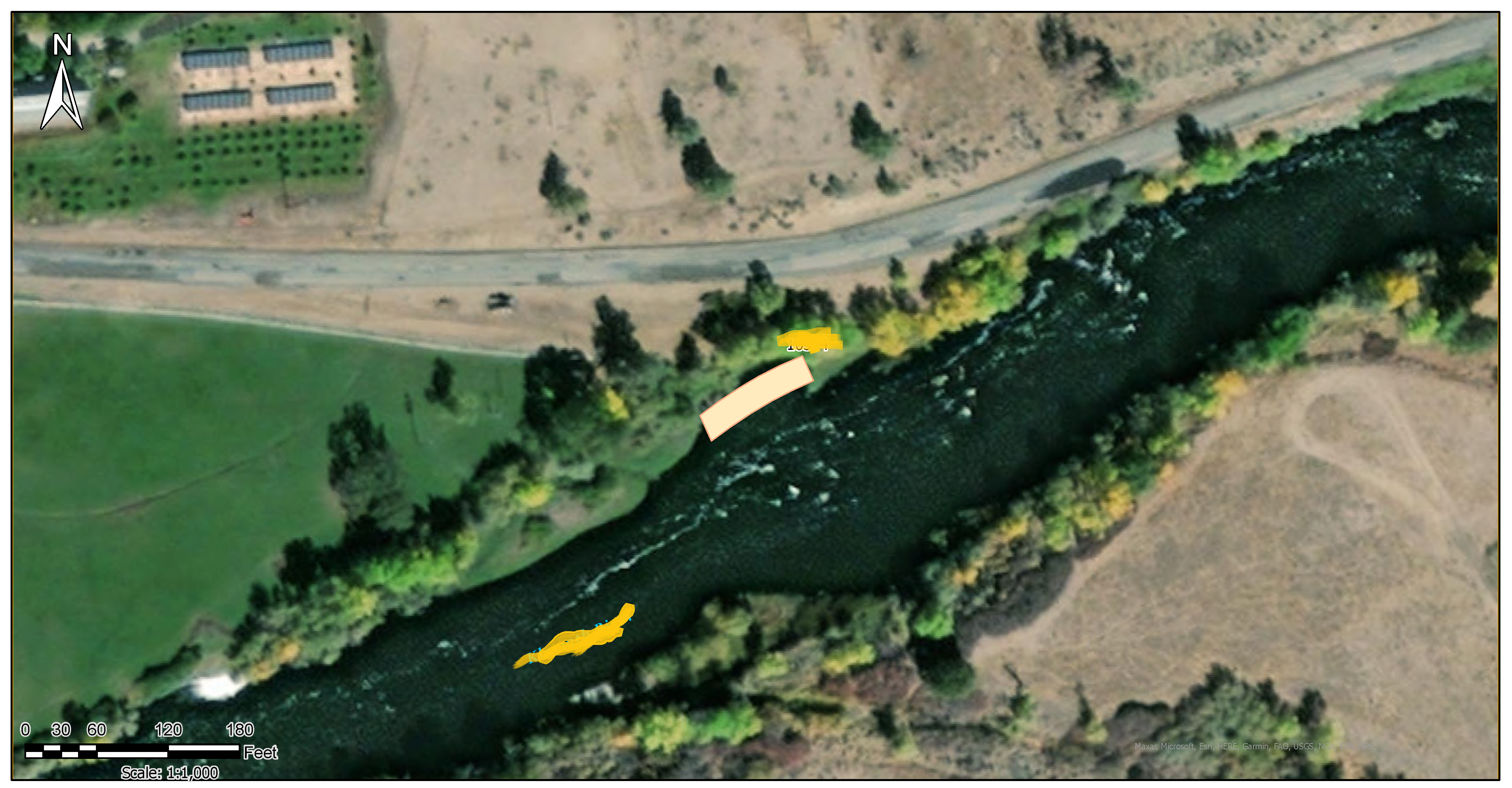
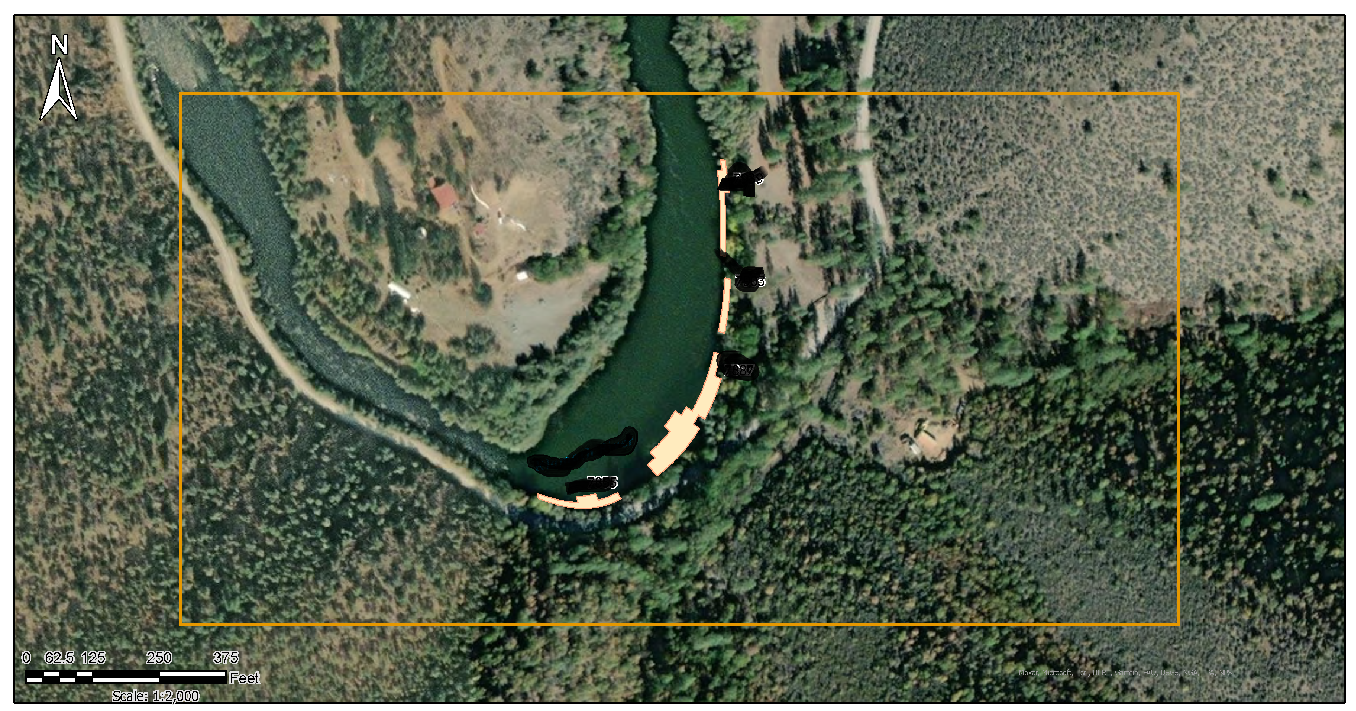
This pattern repeats itself for all indices. Anybody know the answer or solution. Seems perhaps to be a known bug since 2020. I just want 0 margin and sometimes a consistent margin 10% or whatever the Desktop Data Driven Pages default was.
thanks everybody - Zach