In some places, our featureclass has stacked points derived from identical XYs. We published to REST through ArcGIS server and added it to a web map (here using Map Viewer Classic, but same problem in Map Viewer Beta).
When the point is clicked in the center, 4 pop-ups are displayed.
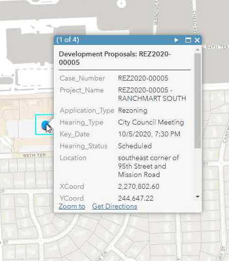
When clicked on the edge of the point (or a bit out beyond) only 1 pop-up is displayed.
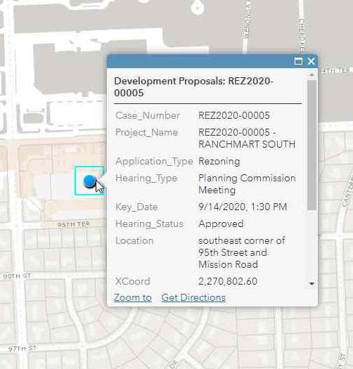
We are concerned that we could be called out for misinforming the public.


