Hi all -
I'm trying to master the wretched process of dealing with unidentified coordinates. I work for a state agency that does a lot of field work and this data comes in fairly often. I'd like to train my users on how to manage it, but it appears I haven't quite got a handle on it myself! This is the documentation (unless one of you knows a better source).
29129 - Identify the spatial reference, projection, or coordinate system of data
It says to add the data table and look at the data via the 'project on-the-fly' utility.
But when I look at the source tab, I can't see anything but text, both with a csv or xls table.
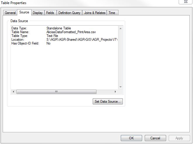
I wondered if maybe it was b/c it wasn't a dbf but when I try and export as a dbf it fails! Help, please? TIA
Cheers,
Joanna


