I am trying out the 'Classifying Imagery Using ArcGIS' at Esri Training page. I am currently at the following exercise and step:
- Exercise: Create a land cover map using unsupervised classification
The instruction is clear enough (although it was not indicated where we can check that the raster has 256 different pixel value). Despite the straight-to-the-point instruction, the 'Iso Cluster Unsupervised Classification' tool keeps throwing back errors at me. And the errors are not one, but 3! I am attaching a screenshot of it below:
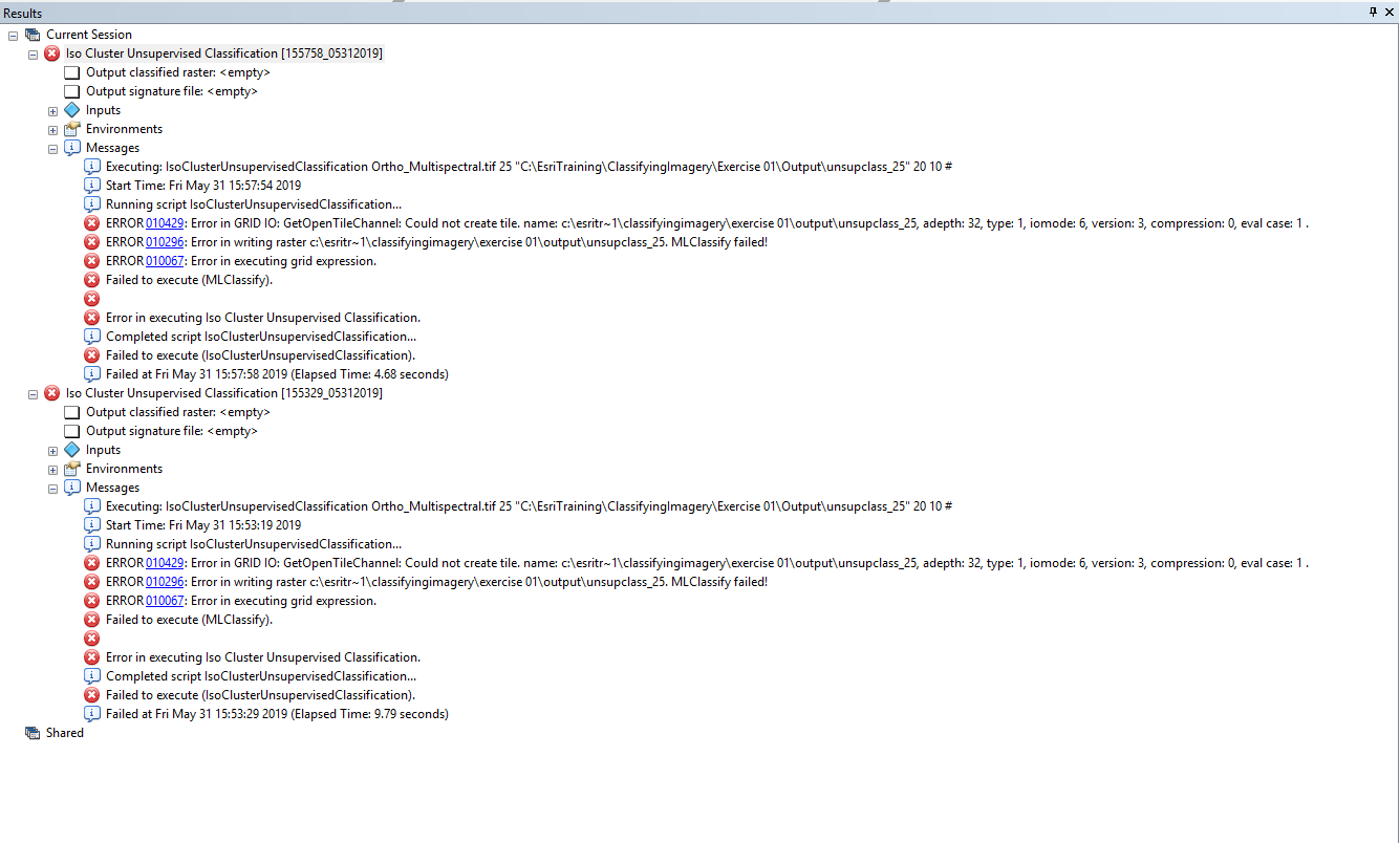
I am not sure what I did wrong but this is quite discouraging since I am very eager to explore ArcMap's capacity for image classification finally. Any help would be great cause the errors are not making sense to me in relation to the instruction given. I am using ArcGIS Desktop 10.5.1 and operating on Windows 10.
P/S: Oh, and if someone can tell me how it manages to find that the raster is made up of 256 different pixels would be great too.
Regards,
Azalea


