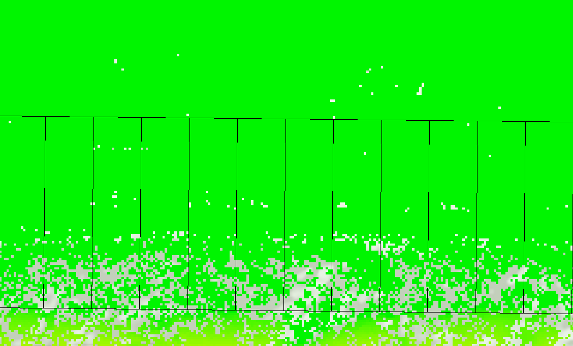
I have a raster dataset containing z values. Besides this i have a shapefile with +/- 50.000 records. Each record represents an area of 400m2. For each record i would like to get the maximum height within the record. Using zonal statistics gives me the MAX z value of the raster within each record of the shapefile. To rule out outlyers in the rasterdataset instead of the maximum value of a cell within each record i would like the quantile 99% value. I reckon this should be possible but I cant seem to figure out how. Im guessing pythons numpy.quantile will be needed.