Hi everyone,
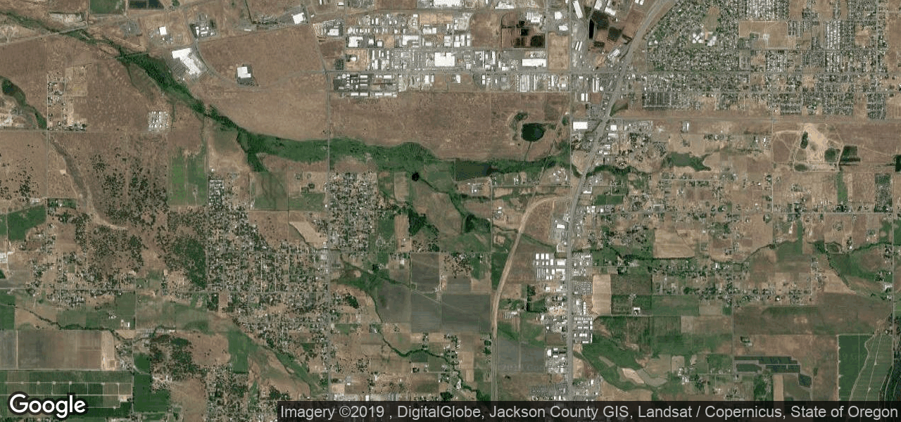
I am fairly new to GIS, and brand new to ArcGIS Pro (Came from ArcMap) so forgive me if the answer is glaringly obvious. I recently created a visual basic program that generates an image from the Google Static Maps API with a respective ESRI world file (.PGW). Below is an example image with the corresponding world file:
0.000171661
0
0
-0.00012673
-122.8704705
42.4147755
The image is named "staticmap.png" and the world file is "staticmap.pgw", they are both saved in the same folder. I first tried assigning the "Mercador Wab Map" projection to the image before loading it in my map. Here are some of the things I've tried so far:
- Loading it in without the world file present, it loads in the Pacific Ocean.
- Assigning the Mercador Web Map and then loading the image with world file in my map, which results in it appearing outside of Africa (it should be in southern oregon).
- Deleting all references to the image / world file in ArcGIS Pro and regenerating both, loading into my map without a projection (It loads in the same spot it loaded without a world file present). This step convinced me that the program is ignoring my world file for some reason, maybe I wrote it incorrectly?
- Tried it in ArcMap with the same results.
If anyone is able to help me with this issue it would be greatly appreciated, thanks!
