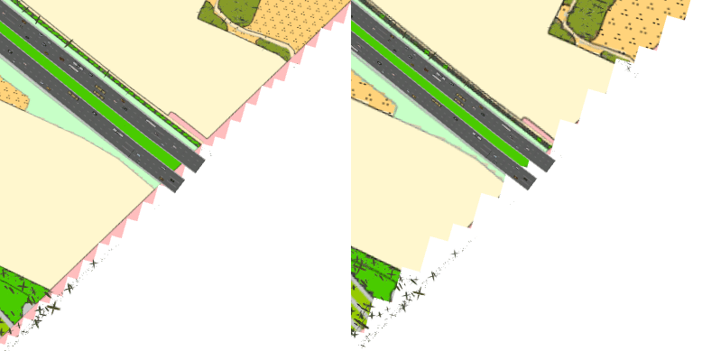
I'm using a custom elevation raster (1 meter cell size) for a polygon layer in a scene. When I zoom out, AGP lowers the surface resolution drastically, leading to cut off polygon edges - see GIF below. Can I somehow prevent this? It doesn't happen in ArcScene (which on the other hand doesn't drape the polygon over the surface as nicely as AGP).