Hi Guys,
I'm using Raster to Polygon to create a shape file I can use with Google Earth Pro, before my ArcGIS trial period runs out. So I've created a few layers and added them together allowing me to narrow down my site selection areas i.e. Slope, Elevation, Aspect etc. I did a Euclidian Distance Calculation to determine maximum distance from a river, Any Euclidean Distance that wasn't part of the other layers was eliminated, so it all worked. but when I run the Raster to Polygon tool it works but it shows the entire Euclidean distance layer as well...? I've specified VALUE and COUNT but still no difference.
Raster
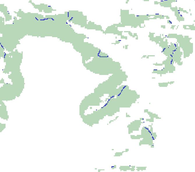
Polygon
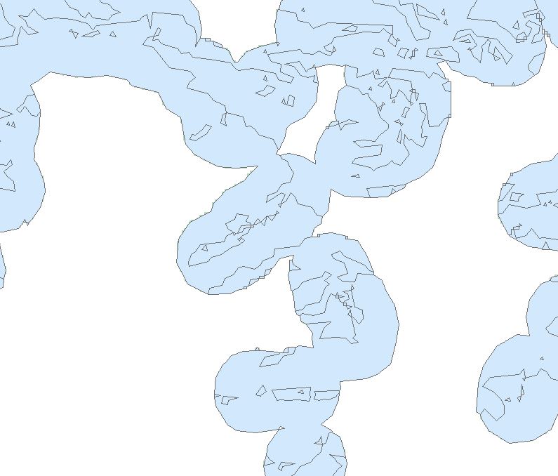
any ideas on what the problem could be?
thanks in advance
Stephen

