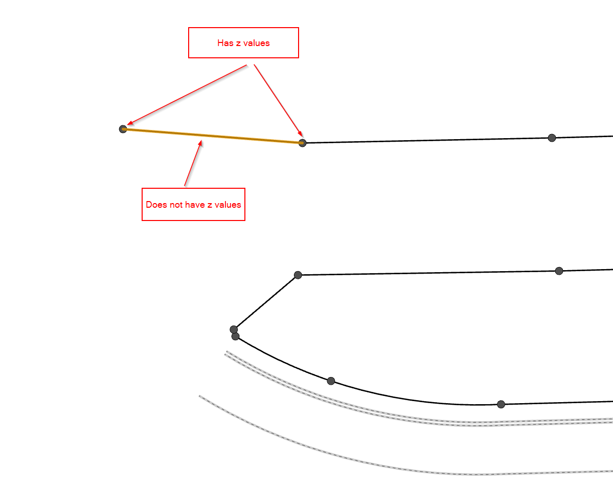
I have a line feature with z enabled, but no elevation, it is a 0. Each line has 2 vertices, one at the beginning and one at the end.
I have a point feature with z enabled and have elevation. Each point is at the end of each line.
How can I add the point elevation to my line elevation? I have tried a one to one spatial join. That only gives 1 of the point's elevation data. Which leaves me with a flat line, and not a sloped line.
I tried a one to many spatial join. That gives me multiple lines with only 1 elevation. I tried Points to Line, but that seemed to miss some of my points and not connect them correctly. Update Feature Z will only accept a surface.
What workflow is there that can accomplish my goal? I have access to all the extensions.



