I have an .mxd that has a wetlands layer in it that comes from arc gis online. I want to intesect this with some features in a file geodatabase from within Arc Map. I can make a connection to arc gis online in arc catalog and see the wetlands map service.
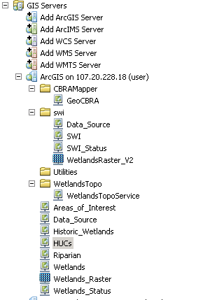
But when I try to use the Intersect tool, the wetlands map service isn't listed.
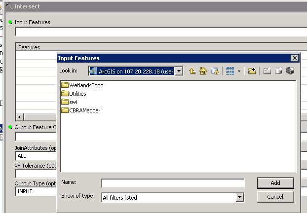
Is it possible to use a map service as the input to the Intersect tool?

