Hi all,
I have a simple map with 2 layers in it. The layers are FeatureLayers created by specifing the "rings" from JSON. On top of that, a simple renderer with simple fill is applied.
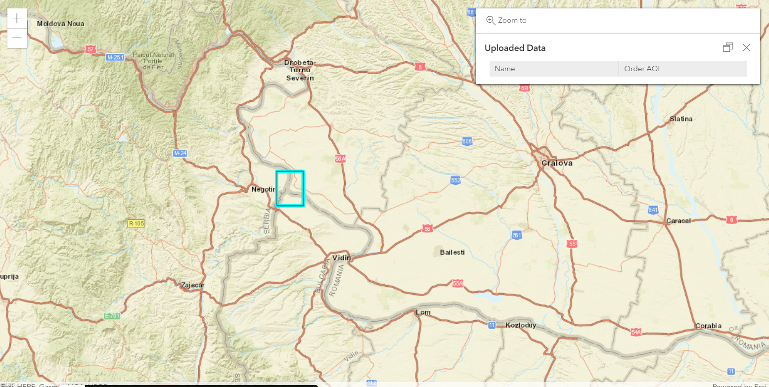
My problem is that 1 layer is correctly displayed and the second is not, meaning only the countour is the layer, and inside is like a hole.
Not sure if this is a problem with the renderer or with the json data.
Please see example here: https://codepen.io/ialixandroae/pen/yLYgzYv
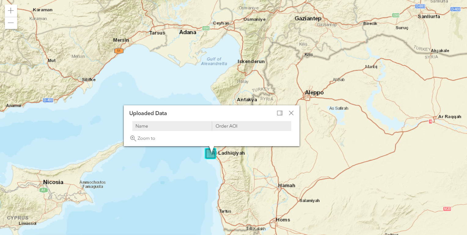
Correct polygon:
Error polygon:
The layers are created from these 2 jsons:
1. const aoi1 = {"type":"Polygon","coordinates":[[[35.7129570843,35.5924058435],[35.8406162505,35.5924058435],[35.8406162505,35.4837313832],[35.7129570843,35.4837313832],[35.7129570843,35.5924058435]]],"crs":{"type":"name","properties":{"name":"EPSG:4326"}}}
2. const aoi2 = {"type":"Polygon","coordinates":[[[22.625794,44.166363],[22.744446,44.166363],[22.744446,44.27656],[22.625794,44.27656],[22.625794,44.166363]]],"crs":{"type":"name","properties":{"name":"EPSG:4326"}}}
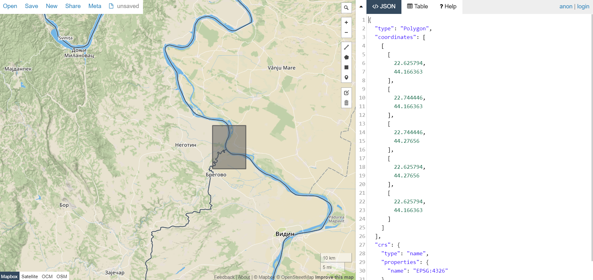
If I test the aoi2 in the application geojson.io , basically take aoi2 data and throw it in the right panel, then in the map I get a whole polygon, no hole or contour, but with JS API I have this situation...
Many thanks!


