ArcGIS Pro 2.5: What does the “Source X” and “Source Y” stored in “control point table” when working with georeferencing refer to?
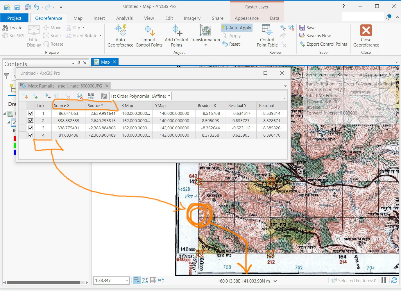
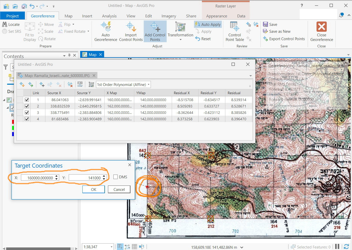
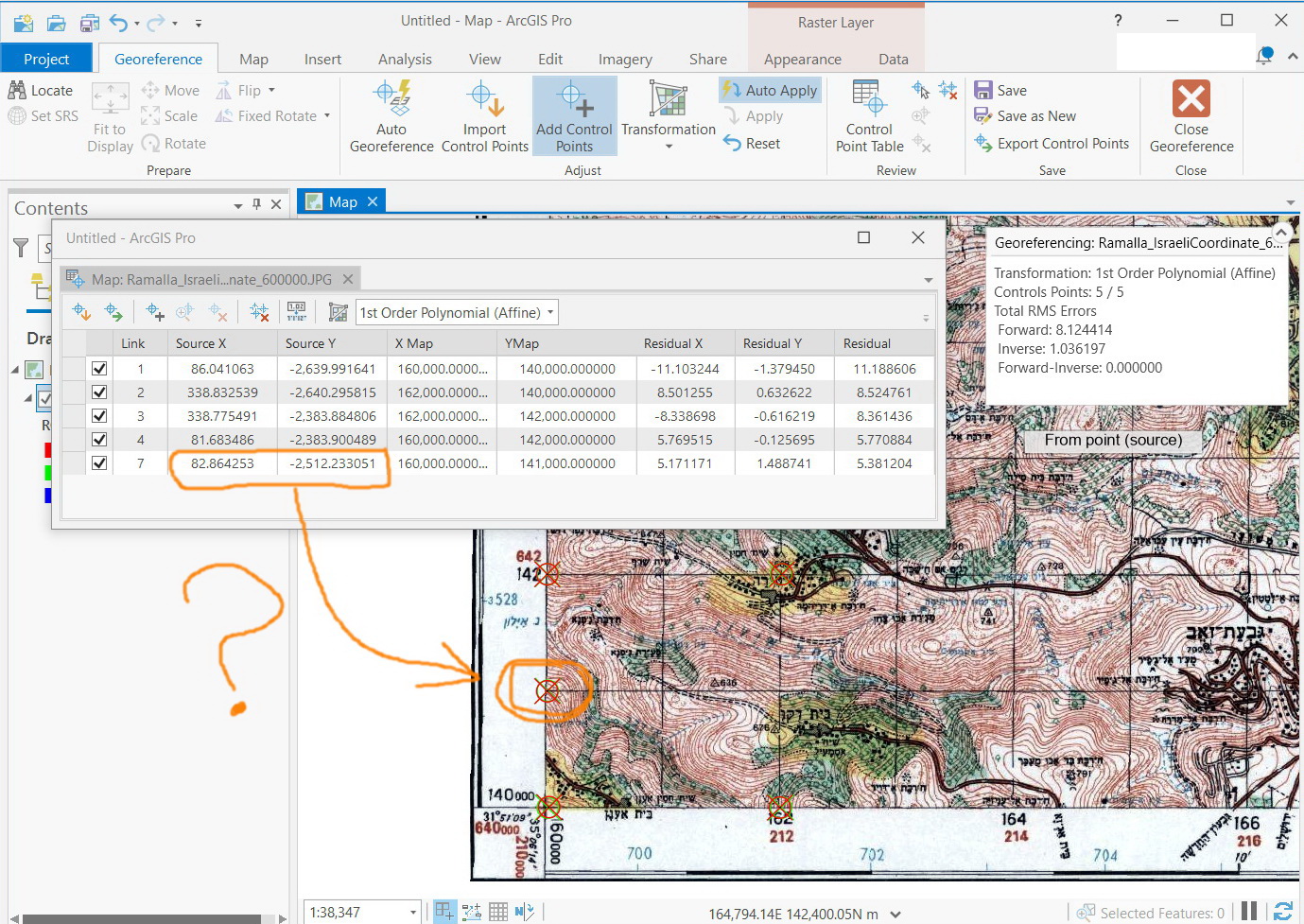
For example, in the screenshot below, I expect that “Source X” and “Source Y” for the marked point will be close to its calculated value (close to 160000 and 140000). However, this appears not the case! The “Source X” and “Source Y” of that marked point appears in the 2nd screenshot.
What could be the interpretation here?