Hi,
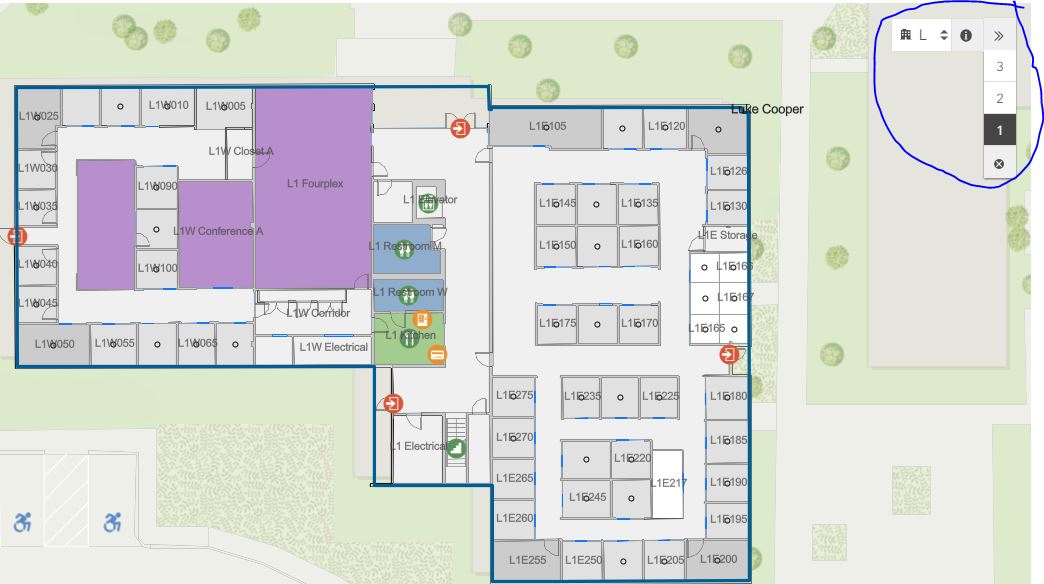
Ive been looking at the Redlands Demo Project and Ive found that the webmap opens automatically to L1 in the building, which is great. My Indoors models works perfectly however the default view always needs you to click on the facility first before you get the level/range rocker to pop out. Where can I find this configuration?
Also follow up question any option to also open to a default map rotation, my building inst a blessed as the esri campus and aligned pretty much with north.
Thanks,
Luke


