Hi,
I am working with a U.S. Census Tract layer. I am just wondering why there are tracts entirely within another tract when, in general, the territory is divided by partitioning the space into a number of simple rectangular regions, divided up by axis parallel (more or less) splits.
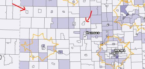
Maybe the explanation is related to the fact that the inner tracts represent the population and the outer tracts are large agricultural areas?
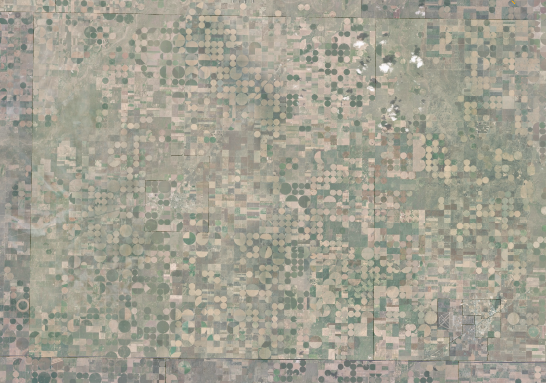
Zoom in:
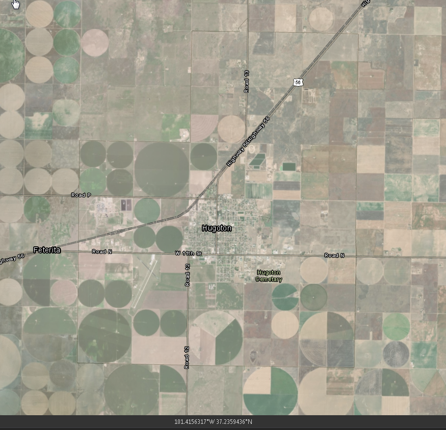
Thanks,
Marcos Keyser

