Hi,
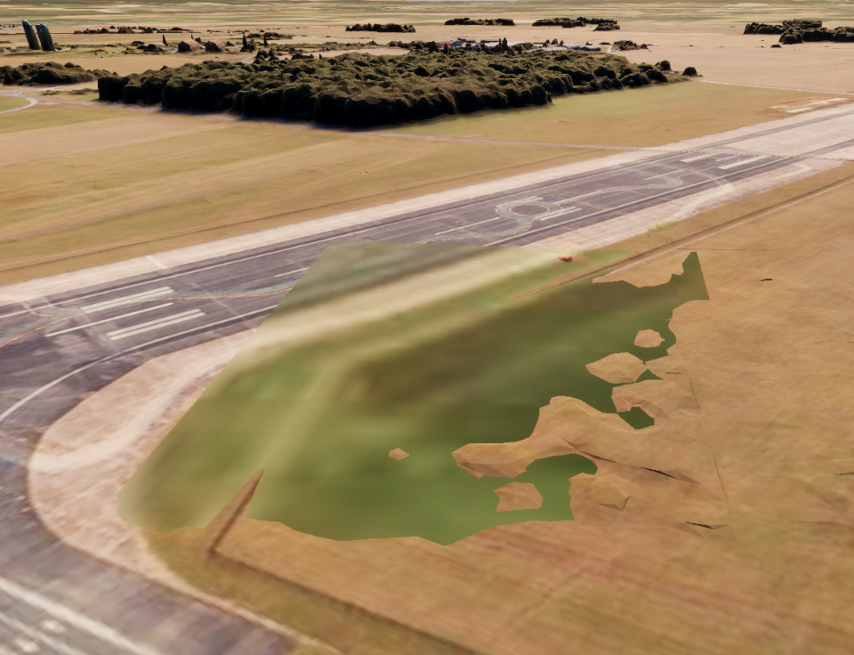
When using Integrated mesh layer with an elevation layer it can cause the basemap to interfere with the mesh layer if elevation data does not exactly match my integrated mesh layer. It becomes more apparent when the elevation drop-off is more noticeable such as near island cliffs. One way I though of solving it was setting elevation data to 0 where I have my integrated mesh layer. But that does not solve my issue since I still need the elevation data due to that I have objects that clamps to the surface of it and they will be under the mesh layer then.
Is there a way to like cull the data where I have the integrated mesh layer? In ArcGIS pro it looks fine and seems to handle this but not the Unity SDK?