The February release of ArcGIS Business Analyst includes an exciting update to the points of interest (POI) search experience: Esri Categories. This beta release of a new POI browsing system allows you to find relevant businesses, facilities, and services faster by applying a consistent classification of POI types across data sources.
What are Esri Categories?
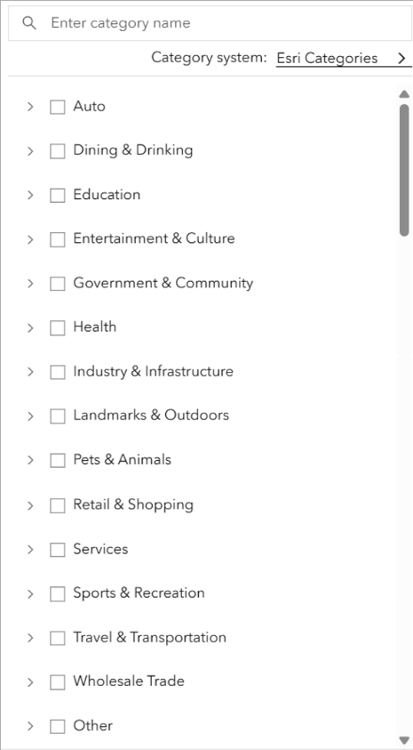
Esri Categories is a proprietary classification system that standardizes POI category searches across the Data Axle, SafeGraph, and Foursquare data sources into one consistent system. The aim is to help you find what you need faster and more reliably, no matter what data source you’re using.
How do I access and use Esri Categories?
In the February release of Business Analyst Web App, you can locate Esri Categories through the points of interest search field as part of the points of interest search, nearby analysis, and void analysis workflows. The POI category system defaults to the one provided by the currently selected data source.
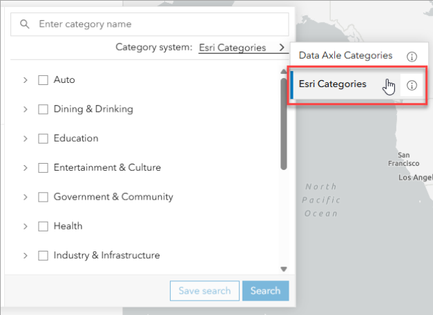
To access Esri Categories, open the POI search field and for Category system, open the drop-down menu and select Esri Categories.
We want to hear from you!
Please reply to this post with your thoughts on the new POI category system. We’re particularly interested in feedback on the following questions:
- Do you find Esri Categories easy to use? What do you like about it?
- How could this system be improved?
- Are there business types that are missing from the system?
- Does this system work for you across countries? How can we improve the international POI search experience with Esri Categories?
