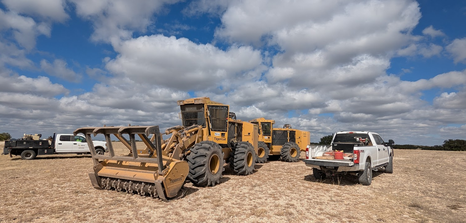
I work for a midstream pipeline company. Once a project is cleared for construction, our crews get to work clearing a wide swath of land using heavy machinery to prepare the right-of-way for sub surface excavation. One of the biggest problems that our clearing crews have is situational awareness. Once the machines get working, the dust clouds that get kicked up reduce the visibility to almost zero. To address this, my team developed a solution using an iPad, a Bad Elf, and suction cup window mount, and an offline Field Map viewer with geofences enabled.
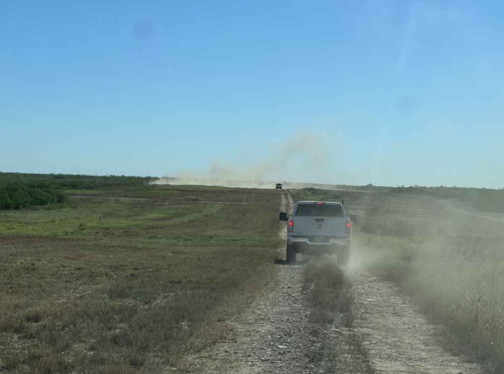
The geofences are buffers of known features representing one of two things; known obstructions (e.g. overhead wires, guy wire anchors) and right-of-way limits. In short, hitting either is bad. With the geofence enabled, drivers receive a warning when their "blue-dot" intersects an "obstruction".
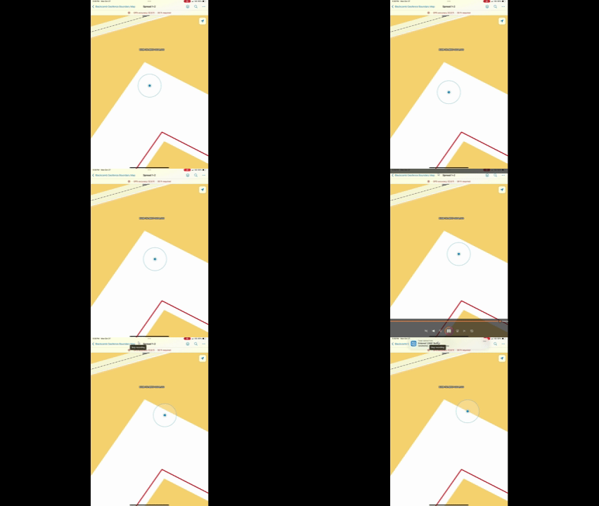
My suggestion is to implement the ability to change the size of the "my location" dot to emulate the size and shape of any given vehicle dimensions. In GIS terms, the geofence alert would trigger when two polygons overlap.
My location "dots" are great when you (the user) are the dot. When the dot represents the location of a GPS receiver inside the cab of a 25ft long piece of heavy machinery, the notification will have arrived too late. As demonstrated below, the blue dot can be outside the orange area without throwing a warning. This translates to damaged equipment, clearing unauthorized private property and/or sensitive areas, but always lost time due to stop-work health & safety protocols.